Ḩalḩūl night lights from space
Night Light of Ḩalḩūl (West Bank) from space (Palestinian Territory) Src. Average luminocity for 10x10km area is 67.2413% and for 50x50km: 38.328%.
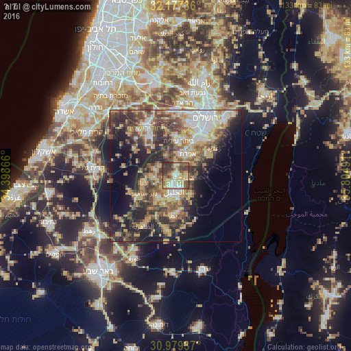
Analysis of Ḩalḩūl night lights 2016
Square area 10x10 km:
 6.64%
6.64%90-99
13.81%80-89
14.51%70-79
19.58%60-69
3.85%50-59
13.81%40-49
9.44%30-39
16.96%20-29
1.4%10-19
0%0-9
0%Square area 50x50 km:
5.41%90-99
4.95%80-89
5.83%70-79
8.53%60-69
4.28%50-59
6.25%40-49
8.23%30-39
7%20-29
9.33%10-19
12.56%0-9
27.62%Clear (daylight) street map image can be seen on geolist.org.
Map coordinates:
32° 10' 38.5" North, 34° 23' 55.2" East
31° 34' 49" North, 35° 6' 6.4" East
30° 58' 45.7" North, 35° 48' 17.7" East
Some cities around Ḩalḩūl sort by population:
• Hebron
5.7 km =3.5 mi,  187°
187°
• Sa‘īr
3.6 km =2.2 mi,  93°
93°
• Bayt Ūmmar
4.8 km =3 mi,  3°
3°
• Bayt Fajjār
7 km =4.3 mi,  45°
45°
• Taffūḩ
6.8 km =4.2 mi,  226°
226°
• Ash Shuyūkh
5.3 km =3.3 mi,  102°
102°
• Khārās
6.9 km =4.3 mi,  304°
304°
• Bayt Kāḩil
3.7 km =2.3 mi,  251°
251°
283806 (p: 21,076)
Sources (retrieved 2019-11-25):
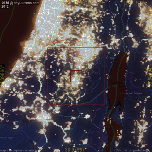
» Earth at Night: Flat Maps 2012, 2016