Adamstown night lights from space
Night Light of Adamstown from space (Pitcairn) Src. Average luminocity for 10x10km area is 0% and for 50x50km: 0%.
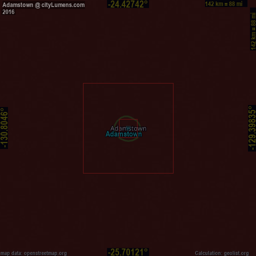
Analysis of Adamstown night lights 2016
Square area 10x10 km:
 0%
0%90-99
0%80-89
0%70-79
0%60-69
0%50-59
0%40-49
0%30-39
0%20-29
0%10-19
0%0-9
100%Square area 50x50 km:
0%90-99
0%80-89
0%70-79
0%60-69
0%50-59
0%40-49
0%30-39
0%20-29
0%10-19
0%0-9
100%Clear (daylight) street map image can be seen on geolist.org.
Map coordinates:
24° 25' 38.7" South, 130° 48' 16.6" West
25° 3' 57.5" South, 130° 6' 5.3" West
25° 42' 4.4" South, 129° 23' 54.1" West
Some cities around Adamstown sort by population:
• Punaauia, PF
2178.7 km =1353.8 mi,  292°
292°
• Pirae, PF
2178 km =1353.3 mi, 292°
• Mahina, PF
2174.3 km =1351 mi, 292°
• Paea, PF
2174.7 km =1351.3 mi, 292°
• Papao, PF
2168.3 km =1347.3 mi, 292°
• Arue, PF
2174.8 km =1351.4 mi, 292°
• Afaahiti, PF
2147.1 km =1334.1 mi, 292°
• Taiohae, PF
2085 km =1295.6 mi,  329°
329°
4030723 (p: 46)
Sources (retrieved 2019-11-25):
» Earth at Night: Flat Maps 2012, 2016