Wałcz night lights from space
Night Light of Wałcz (West Pomerania) from space (Poland) Src. Average luminocity for 10x10km area is 10.0391% and for 50x50km: 2.1958%.
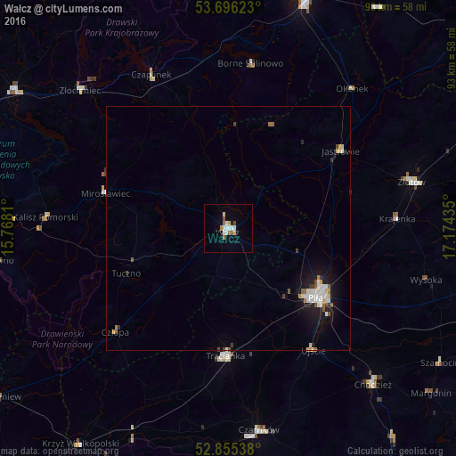
Analysis of Wałcz night lights 2016
Square area 10x10 km:
 2.53%
2.53%90-99
1.52%80-89
1.26%70-79
0.76%60-69
1.01%50-59
0.63%40-49
1.39%30-39
0%20-29
0.38%10-19
2.02%0-9
88.51%Square area 50x50 km:
0.45%90-99
0.42%80-89
0.23%70-79
0.1%60-69
0.19%50-59
0.25%40-49
0.2%30-39
0.17%20-29
0.24%10-19
1.85%0-9
95.91%Clear (daylight) street map image can be seen on geolist.org.
Map coordinates:
53° 41' 46.4" North, 15° 46' 5.2" East
53° 16' 40.3" North, 16° 28' 16.4" East
52° 51' 19.4" North, 17° 10' 27.7" East
Some cities around Wałcz sort by population:
• Piła
22.6 km =14 mi,  128°
128°
• Chodzież
43.4 km =27 mi,  136°
136°
• Złotów
39 km =24.2 mi,  75°
75°
• Trzcianka
26.4 km =16.4 mi,  182°
182°
• Złocieniec
41.6 km =25.8 mi,  312°
312°
• Czarnków
42.2 km =26.2 mi,  171°
171°
• Jastrowie
27.9 km =17.3 mi,  55°
55°
• Czaplinek
34.9 km =21.7 mi,  333°
333°
3082704 (p: 25,971)
Sources (retrieved 2019-11-25):
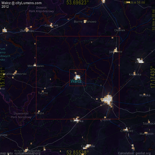
» Earth at Night: Flat Maps 2012, 2016