Piekary Śląskie night lights from space
Night Light of Piekary Śląskie (Silesia) from space (Poland) Src. Average luminocity for 10x10km area is 68.6807% and for 50x50km: 37.7159%.
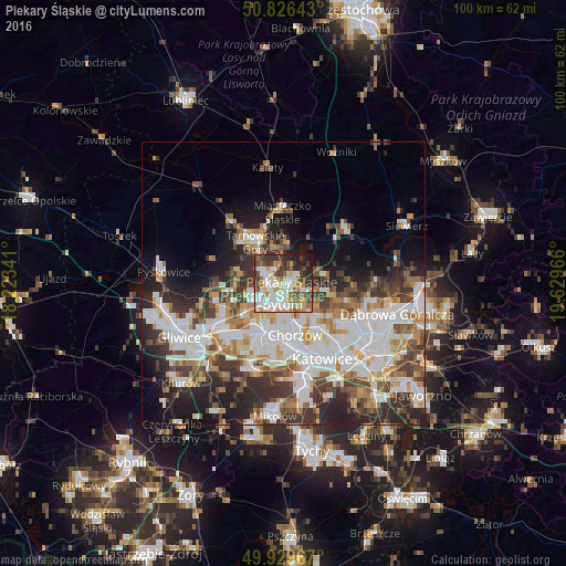
Analysis of Piekary Śląskie night lights 2016
Square area 10x10 km:
 16.11%
90-99
22.27%80-89
6.02%70-79
9.52%60-69
6.02%50-59
7.7%40-49
11.06%30-39
10.22%20-29
8.68%10-19
2.38%0-9
0%Square area 50x50 km:
9.79%90-99
9.39%80-89
3.02%70-79
3.99%60-69
4.39%50-59
4.18%40-49
4.96%30-39
6.29%20-29
7.94%10-19
8.76%0-9
37.3%Clear (daylight) street map image can be seen on geolist.org.
Map coordinates:
50° 49' 35.1" North, 18° 13' 24.3" East
50° 22' 48.6" North, 18° 55' 35.5" East
49° 55' 46.8" North, 19° 37' 46.8" East
Some cities around Piekary Śląskie sort by population:
• Zabrze
11.7 km =7.3 mi,  238°
238°
• Bytom
3.6 km =2.2 mi,  172°
172°
• Chorzów
8.9 km =5.5 mi,  157°
157°
• Siemianowice Śląskie
9.3 km =5.8 mi,  128°
128°
• Tarnowskie Góry
8.6 km =5.3 mi,  327°
327°
• Świętochłowice
9.3 km =5.8 mi,  184°
184°
• Radzionków
2.8 km =1.7 mi,  322°
322°
• Wojkowice
8 km =5 mi,  102°
102°
3089125 (p: 59,757)
Sources (retrieved 2019-11-25):
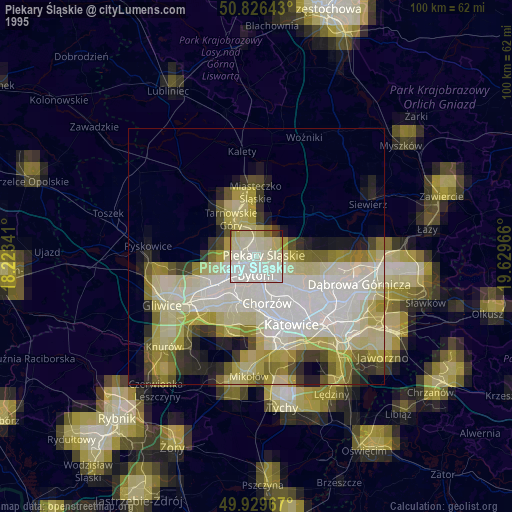
» NASA, Earths city lights 1995
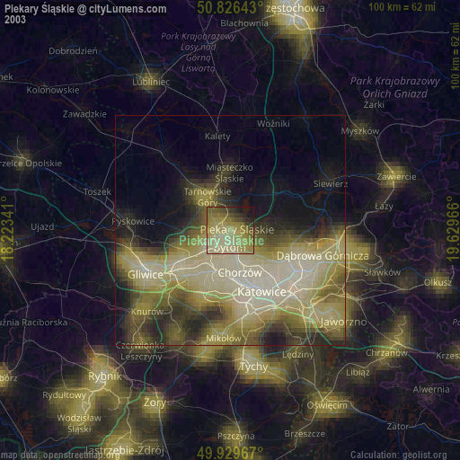
» NASA city lights 2003
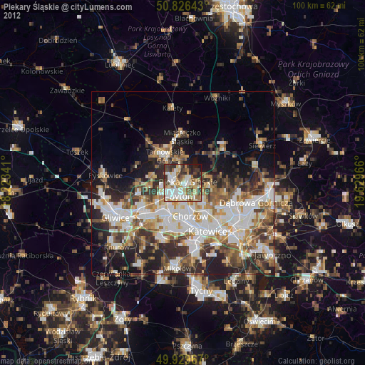
» Earth at Night: Flat Maps 2012, 2016