Stronie Śląskie night lights from space
Night Light of Stronie Śląskie (Lower Silesia) from space (Poland) Src. Average luminocity for 10x10km area is 2.0829% and for 50x50km: 1.2028%.
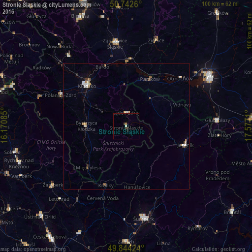
Analysis of Stronie Śląskie night lights 2016
Square area 10x10 km:
 0%
0%90-99
0.53%80-89
0%70-79
0%60-69
0.53%50-59
0%40-49
0.67%30-39
0.94%20-29
0.4%10-19
0.67%0-9
96.26%Square area 50x50 km:
0.19%90-99
0.25%80-89
0.06%70-79
0.13%60-69
0.19%50-59
0.14%40-49
0.2%30-39
0.14%20-29
0.11%10-19
0.23%0-9
98.38%Clear (daylight) street map image can be seen on geolist.org.
Map coordinates:
50° 44' 33.4" North, 16° 10' 15.1" East
50° 17' 43.9" North, 16° 52' 26.3" East
49° 50' 39.3" North, 17° 34' 37.6" East
Some cities around Stronie Śląskie sort by population:
• Kłodzko
21.6 km =13.4 mi,  315°
315°
• Jeseník, CZ
24.6 km =15.3 mi,  107°
107°
• Bystrzyca Kłodzka
16.5 km =10.3 mi,  272°
272°
• Paczków
21 km =13 mi,  26°
26°
• Polanica-Zdrój
28.3 km =17.6 mi,  295°
295°
• Lądek-Zdrój
5.4 km =3.4 mi,  4°
4°
• Szczytna
33 km =20.5 mi,  293°
293°
• Otmuchów
28.5 km =17.7 mi,  48°
48°
3084515 (p: 6,192)
Sources (retrieved 2019-11-25):
» Earth at Night: Flat Maps 2012, 2016