Sopot night lights from space
Night Light of Sopot (Pomerania) from space (Poland) Src. Average luminocity for 10x10km area is 54.7273% and for 50x50km: 19.4687%.
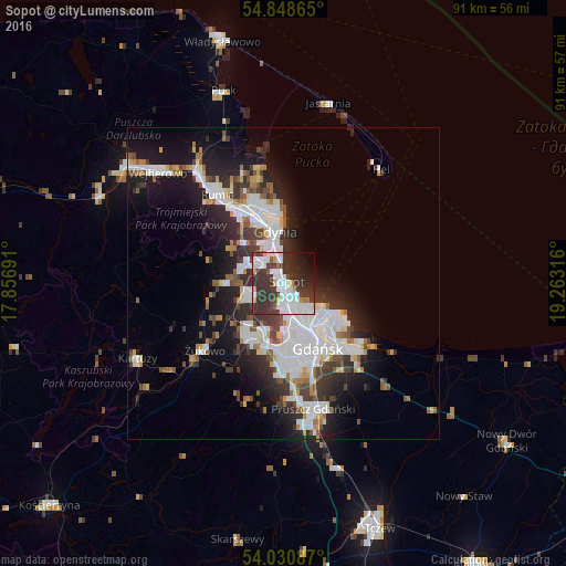
Analysis of Sopot night lights 2016
Square area 10x10 km:
 17.34%
90-99
15.55%80-89
1.79%70-79
3.35%60-69
1.67%50-59
1.08%40-49
3.95%30-39
30.02%20-29
13.4%10-19
7.3%0-9
4.55%Square area 50x50 km:
5.49%90-99
4.59%80-89
0.97%70-79
1.37%60-69
1.63%50-59
1.69%40-49
2.15%30-39
3.84%20-29
5.17%10-19
9.92%0-9
63.17%Clear (daylight) street map image can be seen on geolist.org.
Map coordinates:
54° 50' 55.1" North, 17° 51' 24.9" East
54° 26' 30.5" North, 18° 33' 36.1" East
54° 1' 51.1" North, 19° 15' 47.4" East
Some cities around Sopot sort by population:
• Gdańsk
11.4 km =7.1 mi,  150°
150°
• Gdynia
8.8 km =5.5 mi,  348°
348°
• Rumia
18.2 km =11.3 mi,  322°
322°
• Pruszcz Gdański
20.6 km =12.8 mi,  166°
166°
• Reda
22.8 km =14.2 mi, 322°
• Kartuzy
26.4 km =16.4 mi,  243°
243°
• Wielki Kack
5.5 km =3.4 mi,  301°
301°
• Żukowo
16.8 km =10.4 mi,  228°
228°
3085151 (p: 40,142)
Sources (retrieved 2019-11-25):
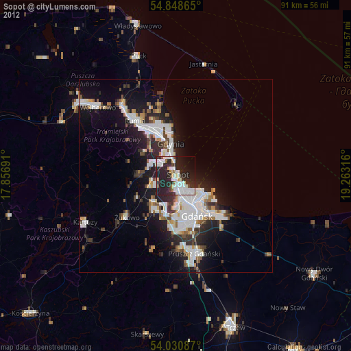
» Earth at Night: Flat Maps 2012, 2016