Pakość night lights from space
Night Light of Pakość (Kujawsko-Pomorskie) from space (Poland) Src. Average luminocity for 10x10km area is 8.7462% and for 50x50km: 3.5505%.
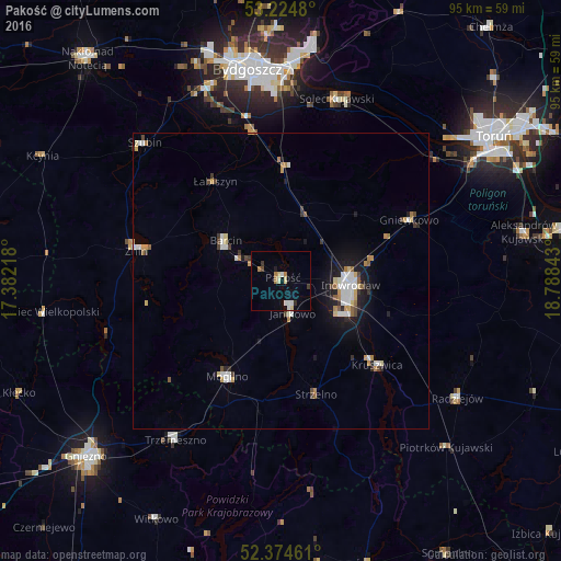
Analysis of Pakość night lights 2016
Square area 10x10 km:
 1.26%
1.26%90-99
1.77%80-89
1.39%70-79
0.13%60-69
2.02%50-59
0%40-49
0.51%30-39
0.88%20-29
0.76%10-19
1.01%0-9
90.28%Square area 50x50 km:
0.65%90-99
0.57%80-89
0.37%70-79
0.45%60-69
0.4%50-59
0.28%40-49
0.34%30-39
0.36%20-29
0.51%10-19
2.05%0-9
94.04%Clear (daylight) street map image can be seen on geolist.org.
Map coordinates:
53° 13' 29.3" North, 17° 22' 55.8" East
52° 48' 6.4" North, 18° 5' 7.1" East
52° 22' 28.6" North, 18° 47' 18.3" East
Some cities around Pakość sort by population:
• Inowrocław
12 km =7.5 mi,  91°
91°
• Żnin
25.1 km =15.6 mi,  282°
282°
• Mogilno
18.2 km =11.3 mi,  208°
208°
• Kruszwica
21.7 km =13.5 mi,  130°
130°
• Janikowo
5.7 km =3.5 mi,  160°
160°
• Barcin
11.8 km =7.3 mi,  307°
307°
• Gniewkowo
24 km =14.9 mi,  64°
64°
• Strzelno
20.2 km =12.6 mi, 163°
3089547 (p: 5,762)
Sources (retrieved 2019-11-25):
» Earth at Night: Flat Maps 2012, 2016