Kętrzyn night lights from space
Night Light of Kętrzyn (Warmia-Masuria) from space (Poland) Src. Average luminocity for 10x10km area is 8.8106% and for 50x50km: 1.3143%.
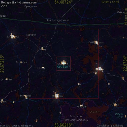
Analysis of Kętrzyn night lights 2016
Square area 10x10 km:
 1.01%
1.01%90-99
2.02%80-89
1.14%70-79
1.39%60-69
0.88%50-59
1.64%40-49
0%30-39
0.51%20-29
0%10-19
0.13%0-9
91.29%Square area 50x50 km:
0.18%90-99
0.29%80-89
0.18%70-79
0.21%60-69
0.1%50-59
0.12%40-49
0.12%30-39
0.1%20-29
0.07%10-19
0.32%0-9
98.31%Clear (daylight) street map image can be seen on geolist.org.
Map coordinates:
54° 29' 14.1" North, 20° 40' 19.7" East
54° 4' 36.3" North, 21° 22' 31" East
53° 39' 43.8" North, 22° 4' 42.2" East
Some cities around Kętrzyn sort by population:
• Giżycko
25.8 km =16 mi,  99°
99°
• Gierłoż
7.9 km =4.9 mi,  86°
86°
• Bartoszyce
41.8 km =26 mi,  298°
298°
• Mrągowo
24.1 km =15 mi,  191°
191°
• Węgorzewo
28.2 km =17.5 mi,  56°
56°
• Biskupiec
36.1 km =22.4 mi,  229°
229°
• Orzysz
47.8 km =29.7 mi,  128°
128°
• Reszel
15.3 km =9.5 mi,  258°
258°
769274 (p: 28,171)
Sources (retrieved 2019-11-25):
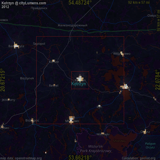
» Earth at Night: Flat Maps 2012, 2016