Łuków night lights from space
Night Light of Łuków (Lublin) from space (Poland) Src. Average luminocity for 10x10km area is 12.452% and for 50x50km: 1.527%.
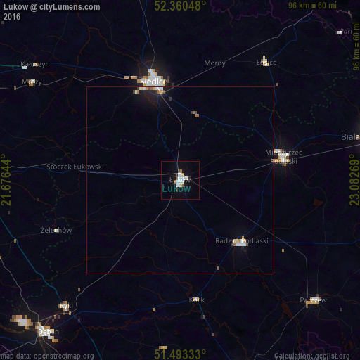
Analysis of Łuków night lights 2016
Square area 10x10 km:
 3.03%
3.03%90-99
3.54%80-89
0.13%70-79
0.88%60-69
0.38%50-59
1.64%40-49
0.51%30-39
0.51%20-29
0.76%10-19
5.3%0-9
83.33%Square area 50x50 km:
0.27%90-99
0.27%80-89
0.1%70-79
0.15%60-69
0.12%50-59
0.17%40-49
0.11%30-39
0.11%20-29
0.23%10-19
1.09%0-9
97.4%Clear (daylight) street map image can be seen on geolist.org.
Map coordinates:
52° 21' 37.7" North, 21° 40' 35.2" East
51° 55' 44.4" North, 22° 22' 46.4" East
51° 29' 36" North, 23° 4' 57.7" East
Some cities around Łuków sort by population:
• Siedlce
27.2 km =16.9 mi,  347°
347°
• Biała Podlaska
51.8 km =32.2 mi,  77°
77°
• Międzyrzec Podlaski
28.3 km =17.6 mi, 76°
• Radzyń Podlaski
23 km =14.3 mi,  134°
134°
• Garwolin
52.6 km =32.7 mi,  266°
266°
• Parczew
48.1 km =29.9 mi, 131°
• Ryki
45.6 km =28.3 mi,  222°
222°
• Łosice
39 km =24.2 mi,  36°
36°
765749 (p: 30,465)
Sources (retrieved 2019-11-25):
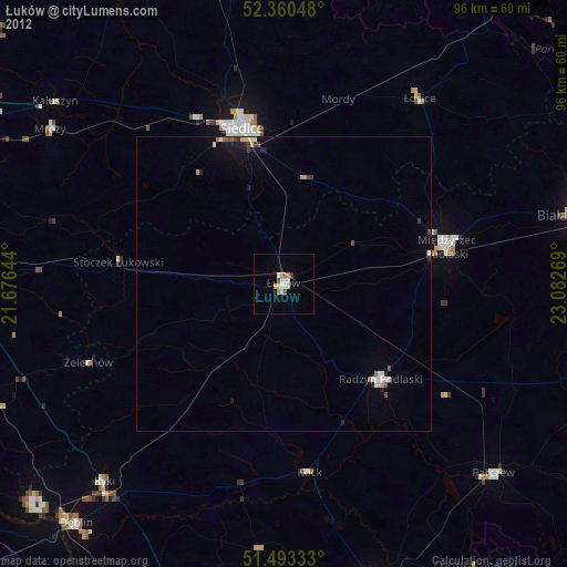
» Earth at Night: Flat Maps 2012, 2016