Kraśnik night lights from space
Night Light of Kraśnik (Lublin) from space (Poland) Src. Average luminocity for 10x10km area is 15.8235% and for 50x50km: 1.4262%.
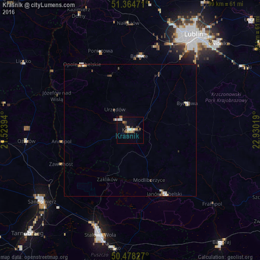
Analysis of Kraśnik night lights 2016
Square area 10x10 km:
 2.8%
2.8%90-99
1.96%80-89
1.4%70-79
0.84%60-69
4.48%50-59
1.68%40-49
0.56%30-39
2.8%20-29
1.12%10-19
6.02%0-9
76.33%Square area 50x50 km:
0.21%90-99
0.26%80-89
0.11%70-79
0.15%60-69
0.22%50-59
0.15%40-49
0.22%30-39
0.19%20-29
0.07%10-19
0.3%0-9
98.12%Clear (daylight) street map image can be seen on geolist.org.
Map coordinates:
51° 21' 53" North, 21° 31' 26.2" East
50° 55' 25" North, 22° 13' 37.4" East
50° 28' 41.8" North, 22° 55' 48.7" East
Some cities around Kraśnik sort by population:
• Stalowa Wola
39.8 km =24.7 mi,  197°
197°
• Sandomierz
43 km =26.7 mi,  231°
231°
• Janów Lubelski
27.3 km =17 mi,  151°
151°
• Poniatowa
29.3 km =18.2 mi,  346°
346°
• Opole Lubelskie
30.8 km =19.1 mi,  324°
324°
• Gorzyce
39.4 km =24.5 mi,  223°
223°
• Bełżyce
28.1 km =17.5 mi,  7°
7°
• Bychawa
23.8 km =14.8 mi,  64°
64°
767623 (p: 35,834)
Sources (retrieved 2019-11-25):
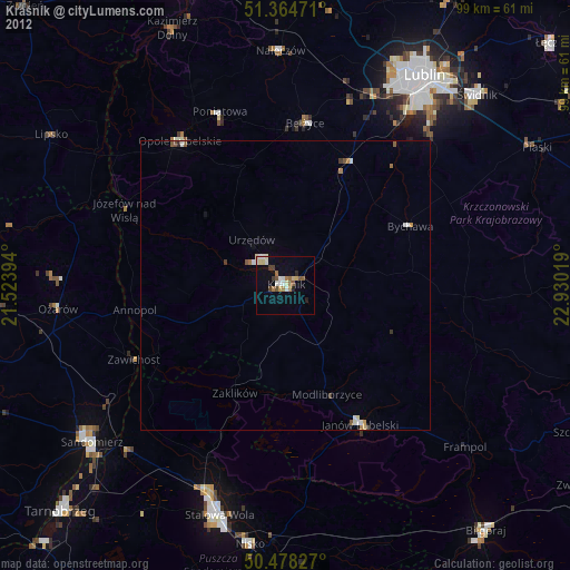
» Earth at Night: Flat Maps 2012, 2016