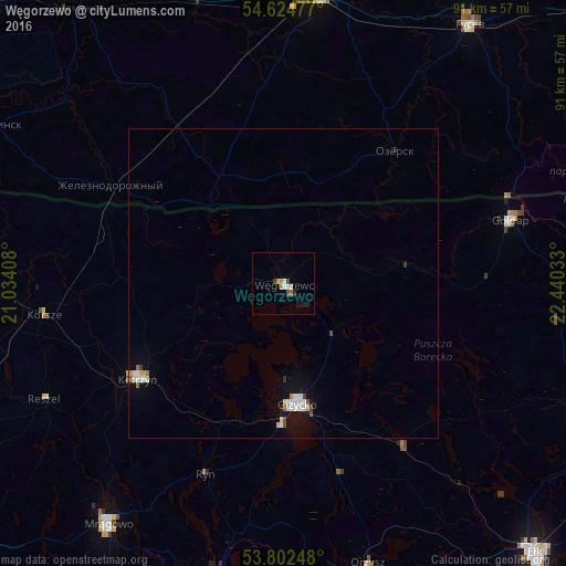
Węgorzewo night lights from space
Night Light of Węgorzewo (Warmia-Masuria) from space (Poland) Src. Average luminocity for 10x10km area is 5.5714% and for 50x50km: 1.2335%.
Analysis of Węgorzewo night lights 2016
Square area 10x10 km:
 0.93%
0.93%90-99
0.66%80-89
0.53%70-79
1.06%60-69
0.53%50-59
0.79%40-49
0.26%30-39
1.06%20-29
0.79%10-19
1.85%0-9
91.53%Square area 50x50 km:
0.2%90-99
0.29%80-89
0.14%70-79
0.11%60-69
0.07%50-59
0.11%40-49
0.12%30-39
0.12%20-29
0.07%10-19
0.69%0-9
98.09%Clear (daylight) street map image can be seen on geolist.org.
Map coordinates:
54° 37' 29.2" North, 21° 2' 2.7" East
54° 12' 56.4" North, 21° 44' 13.9" East
53° 48' 8.9" North, 22° 26' 25.2" East
Some cities around Węgorzewo sort by population:
• Chernyakhovsk, RU
46.7 km =29 mi,  6°
6°
• Giżycko
19.8 km =12.3 mi,  174°
174°
• Gierłoż
21.7 km =13.5 mi,  226°
226°
• Kętrzyn
28.2 km =17.5 mi,  236°
236°
• Gołdap
38.1 km =23.7 mi,  74°
74°
• Orzysz
47.2 km =29.3 mi,  163°
163°
• Ozërsk, RU
28 km =17.4 mi,  39°
39°
• Reszel
42.7 km =26.5 mi, 244°
756048 (p: 11,864)
Sources (retrieved 2019-11-25):
» Earth at Night: Flat Maps 2012, 2016