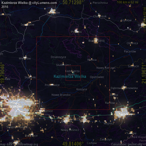
Kazimierza Wielka night lights from space
Night Light of Kazimierza Wielka (Świętokrzyskie) from space (Poland) Src. Average luminocity for 10x10km area is 0.9545% and for 50x50km: 1.1098%.
Analysis of Kazimierza Wielka night lights 2016
Square area 10x10 km:
 0%
0%90-99
0%80-89
0%70-79
0.4%60-69
0.13%50-59
0%40-49
0.53%30-39
0%20-29
0.53%10-19
0.53%0-9
97.86%Square area 50x50 km:
0.04%90-99
0.17%80-89
0.08%70-79
0.1%60-69
0.2%50-59
0.14%40-49
0.24%30-39
0.23%20-29
0.23%10-19
0.79%0-9
97.77%Clear (daylight) street map image can be seen on geolist.org.
Map coordinates:
50° 42' 46.7" North, 19° 47' 25.7" East
50° 15' 56.3" North, 20° 29' 36.9" East
49° 48' 50.6" North, 21° 11' 48.2" East
Some cities around Kazimierza Wielka sort by population:
• Bochnia
33.3 km =20.7 mi,  187°
187°
• Busko-Zdrój
27.8 km =17.3 mi,  35°
35°
• Brzesko
33.9 km =21.1 mi,  166°
166°
• Pińczów
28.4 km =17.6 mi,  4°
4°
• Miechów
34.6 km =21.5 mi,  286°
286°
• Dąbrowa Tarnowska
36.5 km =22.7 mi,  106°
106°
• Niepołomice
31.6 km =19.6 mi,  217°
217°
• Proszowice
16.7 km =10.4 mi,  240°
240°
769346 (p: 5,696)
Sources (retrieved 2019-11-25):
» Earth at Night: Flat Maps 2012, 2016