Yazman night lights from space
Night Light of Yazman (Punjab) from space (Pakistan) Src. Average luminocity for 10x10km area is 15.5238% and for 50x50km: 5.511%.
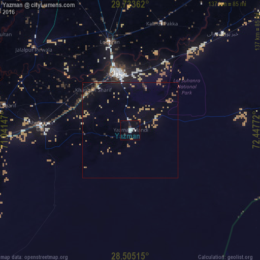
Analysis of Yazman night lights 2016
Square area 10x10 km:
 3.97%
3.97%90-99
3.97%80-89
0.2%70-79
0.6%60-69
0%50-59
0%40-49
1.59%30-39
0.79%20-29
2.38%10-19
10.52%0-9
75.99%Square area 50x50 km:
0.32%90-99
0.36%80-89
0.64%70-79
1.21%60-69
1.27%50-59
0.72%40-49
0.49%30-39
0.32%20-29
0.35%10-19
2.28%0-9
92.02%Clear (daylight) street map image can be seen on geolist.org.
Map coordinates:
29° 44' 1" North, 71° 2' 29.3" East
29° 7' 16.4" North, 71° 44' 40.5" East
28° 30' 18.5" North, 72° 26' 51.8" East
Some cities around Yazman sort by population:
• Bahawalpur
31.5 km =19.6 mi,  347°
347°
• Ahmadpur East
47.3 km =29.4 mi,  272°
272°
• Lodhran
47.2 km =29.3 mi, 346°
• Kahror Pakka
58.3 km =36.2 mi,  16°
16°
• Jalalpur Pirwala
66.2 km =41.1 mi,  310°
310°
• Dunyapur
75.8 km =47.1 mi,  359°
359°
• Khairpur Tamewah
70 km =43.5 mi,  43°
43°
• Dhanot
51 km =31.7 mi,  0°
0°
1162316 (p: 24,580)
Sources (retrieved 2019-11-25):
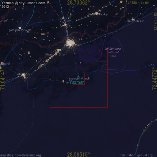
» Earth at Night: Flat Maps 2012, 2016