Dunyapur night lights from space
Night Light of Dunyapur (Punjab) from space (Pakistan) Src. Average luminocity for 10x10km area is 0.9246% and for 50x50km: 2.3893%.
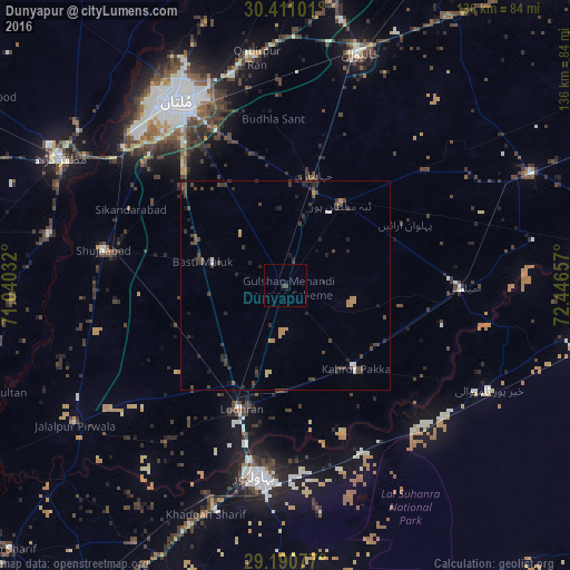
Analysis of Dunyapur night lights 2016
Square area 10x10 km:
 0%
0%90-99
0%80-89
0%70-79
0%60-69
0%50-59
0%40-49
0.4%30-39
1.19%20-29
0%10-19
0.79%0-9
97.62%Square area 50x50 km:
0.05%90-99
0.17%80-89
0.13%70-79
0.33%60-69
0.23%50-59
0.14%40-49
1.24%30-39
0.87%20-29
0.9%10-19
0.73%0-9
95.22%Clear (daylight) street map image can be seen on geolist.org.
Map coordinates:
30° 24' 39.6" North, 71° 2' 25.2" East
29° 48' 9.9" North, 71° 44' 36.4" East
29° 11' 26.8" North, 72° 26' 47.7" East
Some cities around Dunyapur sort by population:
• Multan
50.7 km =31.5 mi,  329°
329°
• Bahawalpur
45.5 km =28.3 mi,  188°
188°
• Lodhran
31.8 km =19.8 mi,  199°
199°
• Kahror Pakka
25.8 km =16 mi,  140°
140°
• Shujaabad
44.3 km =27.5 mi,  281°
281°
• Mailsi
41.5 km =25.8 mi,  90°
90°
• Khairpur Tamewah
53.7 km =33.4 mi,  117°
117°
• Dhanot
24.8 km =15.4 mi,  178°
178°
1179450 (p: 34,044)
Sources (retrieved 2019-11-25):
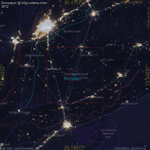
» Earth at Night: Flat Maps 2012, 2016