Upper Dir night lights from space
Night Light of Upper Dir (Khyber Pakhtunkhwa) from space (Pakistan) Src. Average luminocity for 10x10km area is 0.6066% and for 50x50km: 0.0741%.

Analysis of Upper Dir night lights 2016
Square area 10x10 km:
 0%
0%90-99
0%80-89
0%70-79
0%60-69
0%50-59
0%40-49
1.22%30-39
0.17%20-29
0%10-19
0%0-9
98.6%Square area 50x50 km:
0%90-99
0%80-89
0%70-79
0%60-69
0.03%50-59
0.03%40-49
0.08%30-39
0.01%20-29
0%10-19
0%0-9
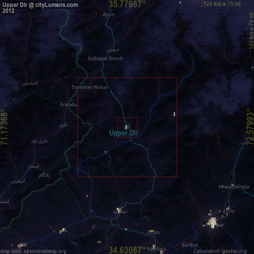
99.86%Clear (daylight) street map image can be seen on geolist.org.
Map coordinates:
35° 46' 47.5" North, 71° 10' 25.2" East
35° 12' 26.6" North, 71° 52' 36.5" East
34° 37' 51.1" North, 72° 34' 47.7" East
Some cities around Upper Dir sort by population:
• Mardan
113.3 km =70.4 mi,  171°
171°
• Mingora
65 km =40.4 mi,  137°
137°
• Asadābād, AF
76.1 km =47.3 mi,  240°
240°
• Bat Khela
66.1 km =41.1 mi, 172°
• Tangi
102.9 km =63.9 mi,  191°
191°
• Thal
44.9 km =27.9 mi,  47°
47°
• Āsmār, AF
51 km =31.7 mi,  247°
247°
• Pārūn, AF
89.8 km =55.8 mi,  285°
285°
1179757 (p: 29,869)
Sources (retrieved 2019-11-25):
» Earth at Night: Flat Maps 2012, 2016