Khewra night lights from space
Night Light of Khewra (Punjab) from space (Pakistan) Src. Average luminocity for 10x10km area is 9.7692% and for 50x50km: 1.7695%.
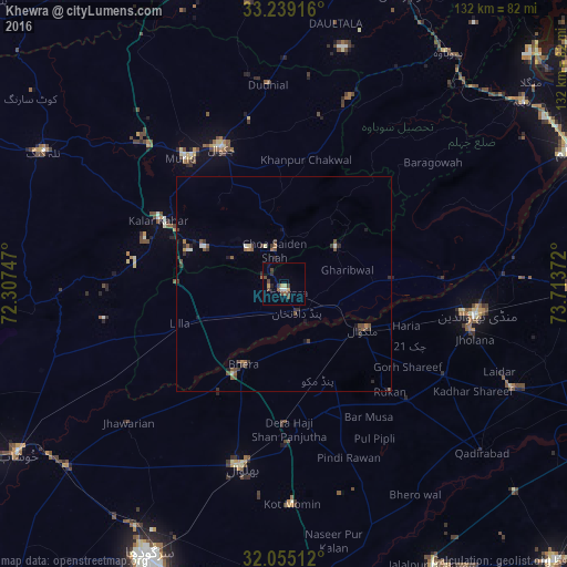
Analysis of Khewra night lights 2016
Square area 10x10 km:
 0.52%
0.52%90-99
0.87%80-89
1.05%70-79
1.75%60-69
0.35%50-59
1.4%40-49
4.9%30-39
1.4%20-29
1.4%10-19
0.87%0-9
85.49%Square area 50x50 km:
0.07%90-99
0.17%80-89
0.13%70-79
0.12%60-69
0.14%50-59
0.49%40-49
0.66%30-39
0.52%20-29
0.35%10-19
0.35%0-9
97.01%Clear (daylight) street map image can be seen on geolist.org.
Map coordinates:
33° 14' 21" North, 72° 18' 26.9" East
32° 38' 56.8" North, 73° 0' 38.1" East
32° 3' 18.4" North, 73° 42' 49.4" East
Some cities around Khewra sort by population:
• Chakwal
34.8 km =21.6 mi,  335°
335°
• Bhalwal
43.9 km =27.3 mi,  193°
193°
• Malakwal City
21.6 km =13.4 mi,  119°
119°
• Malakwal
21.7 km =13.5 mi, 119°
• Bhera
20.9 km =13 mi,  207°
207°
• Pind Dadan Khan
7.6 km =4.7 mi,  155°
155°
• Kallar Kahar
32.7 km =20.3 mi,  296°
296°
• Choa Saidan Shah
8.2 km =5.1 mi, 343°
1173920 (p: 32,620)
Sources (retrieved 2019-11-25):
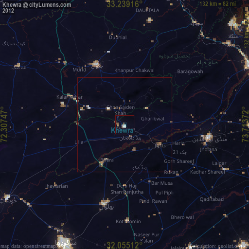
» Earth at Night: Flat Maps 2012, 2016