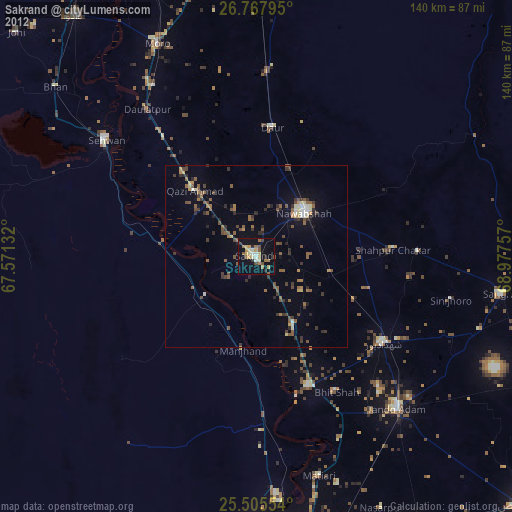
Sakrand night lights from space
Night Light of Sakrand (Sindh) from space (Pakistan) Src. Average luminocity for 10x10km area is 26.9583% and for 50x50km: 4.7078%.
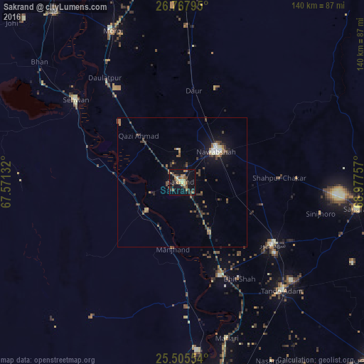
Analysis of Sakrand night lights 2016
Square area 10x10 km:
 0.4%
0.4%90-99
0.99%80-89
4.56%70-79
3.77%60-69
7.34%50-59
5.56%40-49
5.56%30-39
4.17%20-29
5.16%10-19
33.93%0-9
28.57%Square area 50x50 km:
0.23%90-99
0.33%80-89
0.49%70-79
0.34%60-69
0.78%50-59
0.9%40-49
1.29%30-39
1.11%20-29
1.02%10-19
3.51%0-9
89.98%Clear (daylight) street map image can be seen on geolist.org.
Map coordinates:
26° 46' 4.6" North, 67° 34' 16.8" East
26° 8' 18.4" North, 68° 16' 28" East
25° 30' 19.9" North, 68° 58' 39.3" East
Some cities around Sakrand sort by population:
• Nawabshah
17.1 km =10.6 mi,  48°
48°
• Shahdadpur
42.1 km =26.2 mi,  124°
124°
• Hala
38.9 km =24.2 mi,  157°
157°
• Shahpur Chakar
37.5 km =23.3 mi,  87°
87°
• Bhit Shah
42.9 km =26.7 mi,  149°
149°
• Daur
35.5 km =22.1 mi,  7°
7°
• Sann
17.5 km =10.9 mi,  231°
231°
• Jām Sāhib
39.5 km =24.5 mi,  63°
63°
1166381 (p: 31,630)
Sources (retrieved 2019-11-25):
» Earth at Night: Flat Maps 2012, 2016