Ualog night lights from space
Night Light of Ualog (Western Visayas) from space (Philippines) Src. Average luminocity for 10x10km area is 1.1157% and for 50x50km: 0.7936%.
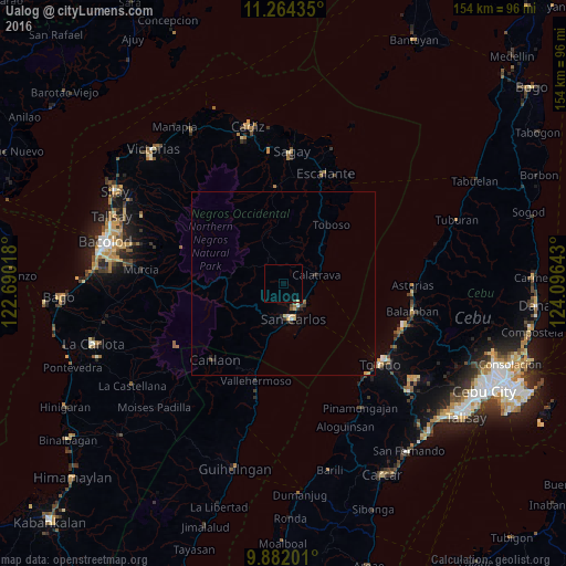
Analysis of Ualog night lights 2016
Square area 10x10 km:
 0%
0%90-99
0%80-89
0.41%70-79
0%60-69
0%50-59
0%40-49
0%30-39
0.41%20-29
0%10-19
0%0-9
99.17%Square area 50x50 km:
0.05%90-99
0.05%80-89
0.19%70-79
0.12%60-69
0.05%50-59
0.07%40-49
0.08%30-39
0.27%20-29
0.13%10-19
0.11%0-9
98.89%Clear (daylight) street map image can be seen on geolist.org.
Map coordinates:
11° 15' 51.7" North, 122° 41' 24.6" East
10° 34' 26.3" North, 123° 23' 35.9" East
9° 52' 55.2" North, 124° 5' 47.1" East
Some cities around Ualog sort by population:
• Codcod
20 km =12.4 mi,  231°
231°
• Toboso
20.6 km =12.8 mi,  40°
40°
• Guadalupe
13.5 km =8.4 mi,  189°
189°
• Calatrava
10.2 km =6.3 mi,  76°
76°
• Palampas
6.2 km =3.9 mi,  151°
151°
• Minapasoc
14.7 km =9.1 mi,  340°
340°
• Bugang
18.7 km =11.6 mi,  0°
0°
• Punao
1.9 km =1.2 mi,  121°
121°
1680505 (p: 60,548)
Sources (retrieved 2019-11-25):
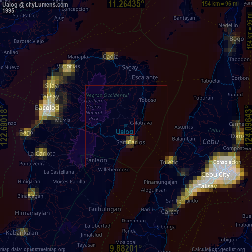
» NASA, Earths city lights 1995
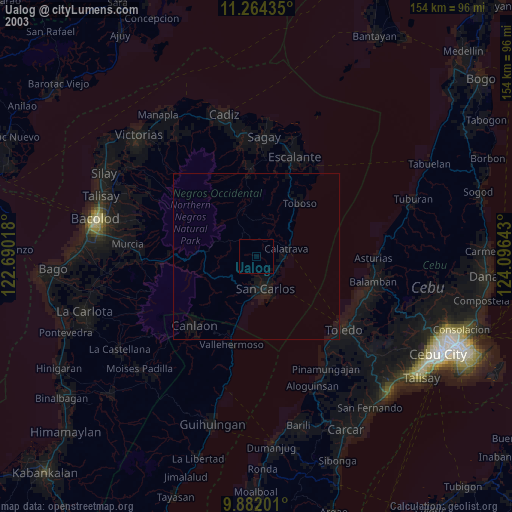
» NASA city lights 2003
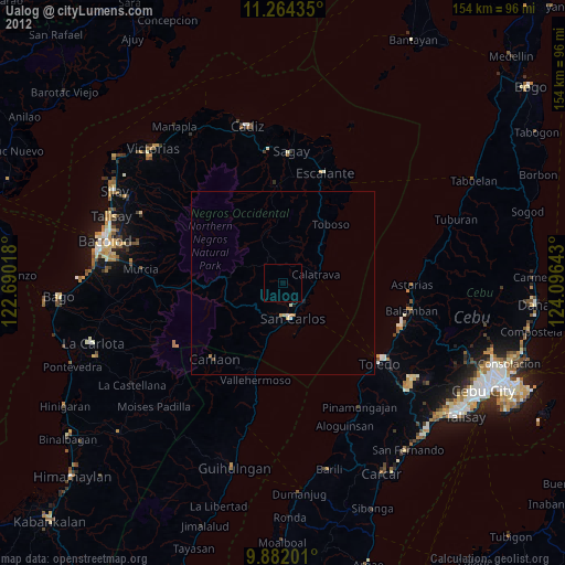
» Earth at Night: Flat Maps 2012, 2016