Tigpalay night lights from space
Night Light of Tigpalay (Zamboanga Peninsula) from space (Philippines) Src. Average luminocity for 10x10km area is 0% and for 50x50km: 0.1184%.
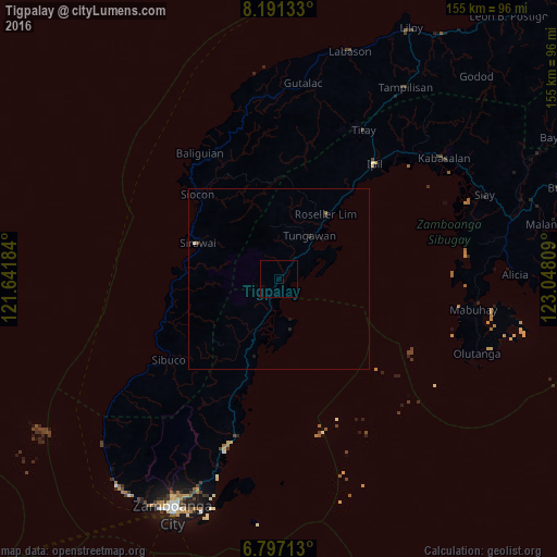
Analysis of Tigpalay night lights 2016
Square area 10x10 km:
 0%
0%90-99
0%80-89
0%70-79
0%60-69
0%50-59
0%40-49
0%30-39
0%20-29
0%10-19
0%0-9
100%Square area 50x50 km:
0%90-99
0.03%80-89
0%70-79
0%60-69
0.02%50-59
0.05%40-49
0%30-39
0%20-29
0.1%10-19
0.1%0-9
99.7%Clear (daylight) street map image can be seen on geolist.org.
Map coordinates:
8° 11' 28.8" North, 121° 38' 30.6" East
7° 29' 41.2" North, 122° 20' 41.9" East
6° 47' 49.7" North, 123° 2' 53.1" East
Some cities around Tigpalay sort by population:
• Ipil
41.8 km =26 mi,  39°
39°
• Titay
41 km =25.5 mi,  30°
30°
• Vitali
15.1 km =9.4 mi,  204°
204°
• Curuan
34.5 km =21.4 mi, 200°
• Bunguiao
46.4 km =28.8 mi, 200°
• Buenavista
30.4 km =18.9 mi, 198°
• Bolong
45.6 km =28.3 mi,  194°
194°
• Siocon
33 km =20.5 mi,  315°
315°
1957566 (p: 5,480)
Sources (retrieved 2019-11-25):
» Earth at Night: Flat Maps 2012, 2016