Bunguiao night lights from space
Night Light of Bunguiao (Zamboanga Peninsula) from space (Philippines) Src. Average luminocity for 10x10km area is 5.3009% and for 50x50km: 3.2522%.
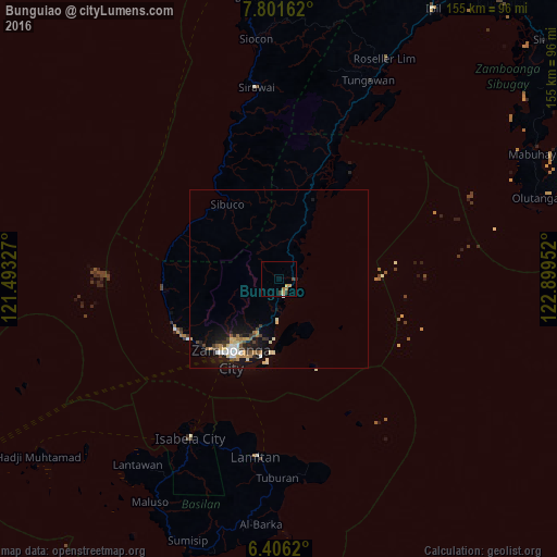
Analysis of Bunguiao night lights 2016
Square area 10x10 km:
 0%
0%90-99
0.43%80-89
1.3%70-79
1.3%60-69
1.73%50-59
0%40-49
1.73%30-39
0.65%20-29
0.65%10-19
0%0-9
92.21%Square area 50x50 km:
0.22%90-99
0.67%80-89
0.44%70-79
0.42%60-69
0.43%50-59
0.29%40-49
0.47%30-39
0.43%20-29
0.49%10-19
3.18%0-9
92.94%Clear (daylight) street map image can be seen on geolist.org.
Map coordinates:
7° 48' 5.8" North, 121° 29' 35.8" East
7° 6' 16" North, 122° 11' 47" East
6° 24' 22.3" North, 122° 53' 58.3" East
Some cities around Bunguiao sort by population:
• Sangali
3.9 km =2.4 mi,  171°
171°
• Mercedes
17.1 km =10.6 mi,  198°
198°
• Manicahan
9.5 km =5.9 mi,  176°
176°
• Taluksangay
16.8 km =10.4 mi, 184°
• Curuan
11.9 km =7.4 mi,  19°
19°
• Buenavista
16 km =9.9 mi, 23°
• Culianan
14.9 km =9.3 mi, 201°
• Bolong
4.8 km =3 mi,  98°
98°
1722626 (p: 6,728)
Sources (retrieved 2019-11-25):
» Earth at Night: Flat Maps 2012, 2016