Titay night lights from space
Night Light of Titay (Zamboanga Peninsula) from space (Philippines) Src. Average luminocity for 10x10km area is 0.8967% and for 50x50km: 0.2657%.
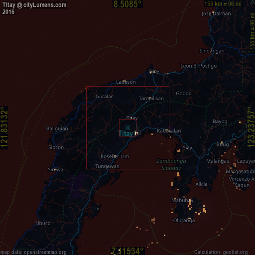
Analysis of Titay night lights 2016
Square area 10x10 km:
 0%
0%90-99
0.41%80-89
0%70-79
0%60-69
0.41%50-59
0%40-49
0.21%30-39
0.21%20-29
0%10-19
0%0-9
98.76%Square area 50x50 km:
0%90-99
0.03%80-89
0%70-79
0.03%60-69
0.08%50-59
0.03%40-49
0.08%30-39
0.15%20-29
0.12%10-19
0.05%0-9
99.43%Clear (daylight) street map image can be seen on geolist.org.
Map coordinates:
8° 30' 30.6" North, 121° 49' 52.8" East
7° 48' 45" North, 122° 32' 4" East
7° 6' 55.2" North, 123° 14' 15.3" East
Some cities around Titay sort by population:
• Ipil
6.5 km =4 mi,  118°
118°
• Katipunan
41.5 km =25.8 mi,  128°
128°
• Kalawit
28.3 km =17.6 mi,  356°
356°
• Naga
24.3 km =15.1 mi,  101°
101°
• Salug
43.4 km =27 mi,  39°
39°
• Imelda
49.7 km =30.9 mi,  111°
111°
• Tigpalay
41 km =25.5 mi,  210°
210°
• Siocon
45.5 km =28.3 mi,  254°
254°
1681689 (p: 11,468)
Sources (retrieved 2019-11-25):
» Earth at Night: Flat Maps 2012, 2016