Tandag night lights from space
Night Light of Tandag (Caraga) from space (Philippines) Src. Average luminocity for 10x10km area is 4.9654% and for 50x50km: 0.4606%.
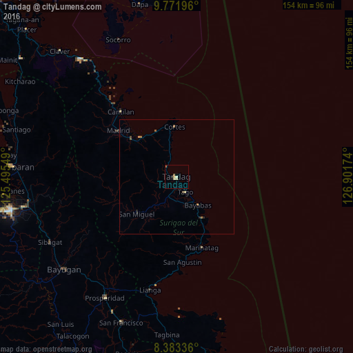
Analysis of Tandag night lights 2016
Square area 10x10 km:
 0%
0%90-99
0.87%80-89
1.73%70-79
0.87%60-69
1.73%50-59
0%40-49
0%30-39
0%20-29
0.87%10-19
0%0-9
93.94%Square area 50x50 km:
0%90-99
0.03%80-89
0.1%70-79
0.08%60-69
0.23%50-59
0.03%40-49
0.05%30-39
0.02%20-29
0.14%10-19
0.03%0-9
99.29%Clear (daylight) street map image can be seen on geolist.org.
Map coordinates:
9° 46' 19.1" North, 125° 29' 43.8" East
9° 4' 42" North, 126° 11' 55" East
8° 23' 0.1" North, 126° 54' 6.3" East
Some cities around Tandag sort by population:
• Bayugan
59.4 km =36.9 mi,  232°
232°
• Bah-Bah
61 km =37.9 mi,  210°
210°
• Lianga
50.7 km =31.5 mi,  192°
192°
• Barobo
61 km =37.9 mi, 187°
• Cantilan
37.3 km =23.2 mi,  319°
319°
• Taligaman
62.7 km =39 mi,  252°
252°
• Tago
7.3 km =4.5 mi,  150°
150°
• Aras-asan
24.5 km =15.2 mi, 149°
1683302 (p: 29,011)
Sources (retrieved 2019-11-25):
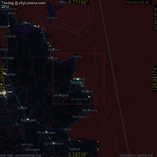
» Earth at Night: Flat Maps 2012, 2016