Aras-asan night lights from space
Night Light of Aras-asan (Caraga) from space (Philippines) Src. Average luminocity for 10x10km area is 1.0996% and for 50x50km: 0.3175%.
Analysis of Aras-asan night lights 2016
Square area 10x10 km:
 0%
0%90-99
0%80-89
0%70-79
0%60-69
0.87%50-59
0%40-49
0%30-39
0%20-29
1.73%10-19
0%0-9
97.4%Square area 50x50 km:
0%90-99
0.03%80-89
0.1%70-79
0.05%60-69
0.12%50-59
0%40-49
0.02%30-39
0.02%20-29
0.1%10-19
0%0-9
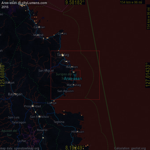
99.56%Clear (daylight) street map image can be seen on geolist.org.
Map coordinates:
9° 34' 54.6" North, 125° 36' 29.1" East
8° 53' 16.1" North, 126° 18' 40.3" East
8° 11' 33" North, 127° 0' 51.6" East
Some cities around Aras-asan sort by population:
• Tandag
24.5 km =15.2 mi,  329°
329°
• Bah-Bah
53.6 km =33.3 mi,  234°
234°
• San Francisco
55.8 km =34.7 mi, 225°
• Lianga
36.9 km =22.9 mi,  220°
220°
• Tagbina
50.8 km =31.6 mi,  197°
197°
• Barobo
44.4 km =27.6 mi,  208°
208°
• Patin-ay
55.6 km =34.5 mi, 227°
• Tago
17.2 km =10.7 mi, 329°
1730232 (p: 5,099)
Sources (retrieved 2019-11-25):
» Earth at Night: Flat Maps 2012, 2016