Tambulig night lights from space
Night Light of Tambulig (Zamboanga Peninsula) from space (Philippines) Src. Average luminocity for 10x10km area is 0.9669% and for 50x50km: 0.6518%.
Analysis of Tambulig night lights 2016
Square area 10x10 km:
 0%
0%90-99
0%80-89
0%70-79
0%60-69
0.41%50-59
0%40-49
0%30-39
0.83%20-29
0.41%10-19
0.83%0-9
97.52%Square area 50x50 km:
0%90-99
0%80-89
0.07%70-79
0.2%60-69
0.13%50-59
0.03%40-49
0.12%30-39
0.29%20-29
0.26%10-19
0.19%0-9
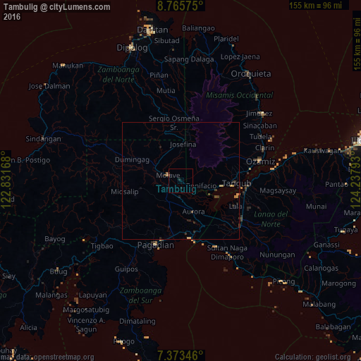
98.73%Clear (daylight) street map image can be seen on geolist.org.
Map coordinates:
8° 45' 56.7" North, 122° 49' 54" East
8° 4' 12.7" North, 123° 32' 5.3" East
7° 22' 24.5" North, 124° 14' 16.5" East
Some cities around Tambulig sort by population:
• Tangub
23.5 km =14.6 mi,  92°
92°
• Molave
5.1 km =3.2 mi,  288°
288°
• Mahayag
11.2 km =7 mi,  298°
298°
• Tucuran
24.6 km =15.3 mi,  169°
169°
• Labangan
22.9 km =14.2 mi,  186°
186°
• Lala
25.8 km =16 mi,  114°
114°
• Aurora
14.3 km =8.9 mi,  158°
158°
• Dumingag
23.1 km =14.4 mi, 298°
1683506 (p: 7,488)
Sources (retrieved 2019-11-25):
» Earth at Night: Flat Maps 2012, 2016