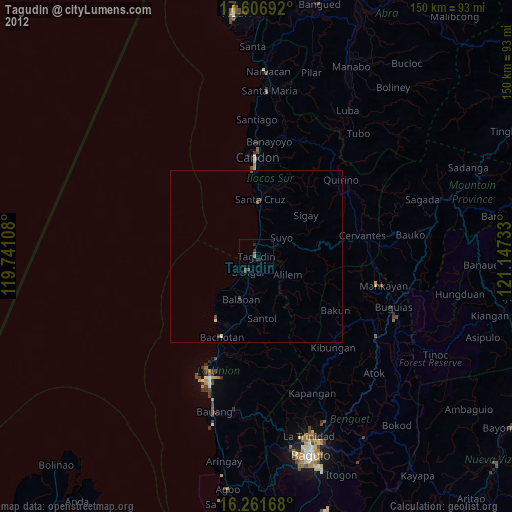
Tagudin night lights from space
Night Light of Tagudin (Ilocos) from space (Philippines) Src. Average luminocity for 10x10km area is 2.8831% and for 50x50km: 0.3148%.
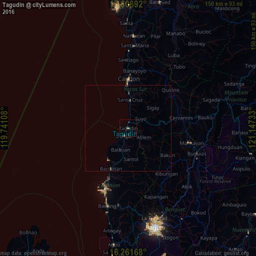
Analysis of Tagudin night lights 2016
Square area 10x10 km:
 0%
0%90-99
0%80-89
0%70-79
1.3%60-69
0.87%50-59
0%40-49
0%30-39
2.6%20-29
0.22%10-19
1.08%0-9
93.94%Square area 50x50 km:
0%90-99
0%80-89
0%70-79
0.1%60-69
0.03%50-59
0.03%40-49
0.13%30-39
0.23%20-29
0.02%10-19
0.13%0-9
99.33%Clear (daylight) street map image can be seen on geolist.org.
Map coordinates:
17° 36' 24.9" North, 119° 44' 27.9" East
16° 56' 7.8" North, 120° 26' 39.1" East
16° 15' 42" North, 121° 8' 50.4" East
Some cities around Tagudin sort by population:
• San Fernando
38 km =23.6 mi,  200°
200°
• Santa Maria
1.8 km =1.1 mi,  1°
1°
• Mankayan
36.9 km =22.9 mi,  102°
102°
• Candon
28.8 km =17.9 mi, 1°
• Bangar
5.1 km =3.2 mi, 204°
• Suyo
9.7 km =6 mi,  62°
62°
• Kibungan
34.9 km =21.7 mi,  139°
139°
• Rimus
8.3 km =5.2 mi,  217°
217°
1684320 (p: 35,791)
Sources (retrieved 2019-11-25):
» Earth at Night: Flat Maps 2012, 2016