Sulit night lights from space
Night Light of Sulit (Soccsksargen) from space (Philippines) Src. Average luminocity for 10x10km area is 3.0281% and for 50x50km: 5.8122%.
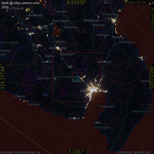
Analysis of Sulit night lights 2016
Square area 10x10 km:
 0%
0%90-99
0%80-89
0%70-79
0.43%60-69
0%50-59
2.6%40-49
1.52%30-39
0.22%20-29
0%10-19
0%0-9
95.24%Square area 50x50 km:
0.74%90-99
1.03%80-89
0.33%70-79
0.55%60-69
0.95%50-59
0.73%40-49
1.18%30-39
1.14%20-29
1.95%10-19
4.05%0-9
87.35%Clear (daylight) street map image can be seen on geolist.org.
Map coordinates:
6° 56' 4.5" North, 124° 19' 2.8" East
6° 14' 10" North, 125° 1' 14" East
5° 32' 12.1" North, 125° 43' 25.3" East
Some cities around Sulit sort by population:
• General Santos
21.6 km =13.4 mi,  129°
129°
• Polomolok
5.1 km =3.2 mi,  108°
108°
• Tupi
13.3 km =8.3 mi,  325°
325°
• Conel
18.8 km =11.7 mi,  101°
101°
• Silway 7
12.9 km =8 mi,  120°
120°
• Polonoling
7.9 km =4.9 mi,  313°
313°
• Cebuano
17.8 km =11.1 mi,  341°
341°
• Kipalbig
22 km =13.7 mi, 331°
1685401 (p: 5,019)
Sources (retrieved 2019-11-25):
» Earth at Night: Flat Maps 2012, 2016