General Santos night lights from space
Night Light of General Santos (Soccsksargen) from space (Philippines) Src. Average luminocity for 10x10km area is 62.8471% and for 50x50km: 6.267%.
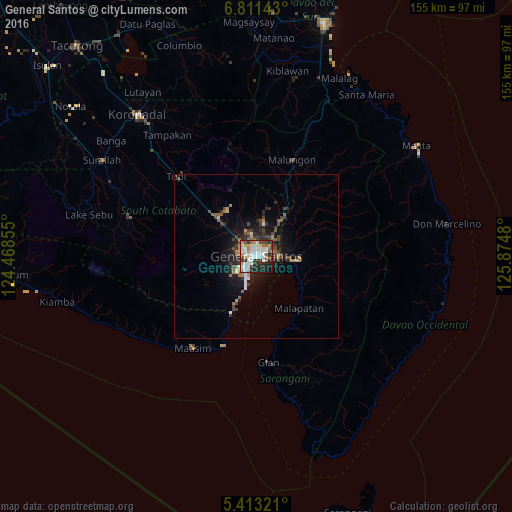
Analysis of General Santos night lights 2016
Square area 10x10 km:
 14.46%
90-99
20.25%80-89
5.37%70-79
7.02%60-69
9.92%50-59
3.51%40-49
5.79%30-39
7.44%20-29
17.98%10-19
7.64%0-9
0.62%Square area 50x50 km:
0.75%90-99
1.04%80-89
0.36%70-79
0.6%60-69
1.03%50-59
0.87%40-49
1.18%30-39
1.29%20-29
2.01%10-19
4.24%0-9
86.63%Clear (daylight) street map image can be seen on geolist.org.
Map coordinates:
6° 48' 41.1" North, 124° 28' 6.8" East
6° 6' 46" North, 125° 10' 18" East
5° 24' 47.6" North, 125° 52' 29.3" East
Some cities around General Santos sort by population:
• Polomolok
17 km =10.6 mi,  315°
315°
• Alabel
13.2 km =8.2 mi,  95°
95°
• Malapatan
20.6 km =12.8 mi,  140°
140°
• Buayan
7 km =4.3 mi,  86°
86°
• Lun Pequeño
14.9 km =9.3 mi,  123°
123°
• Conel
10.1 km =6.3 mi,  9°
9°
• Katangawan
8.6 km =5.3 mi,  39°
39°
• Silway 7
9.1 km =5.7 mi, 321°
1713022 (p: 679,588)
Sources (retrieved 2019-11-25):
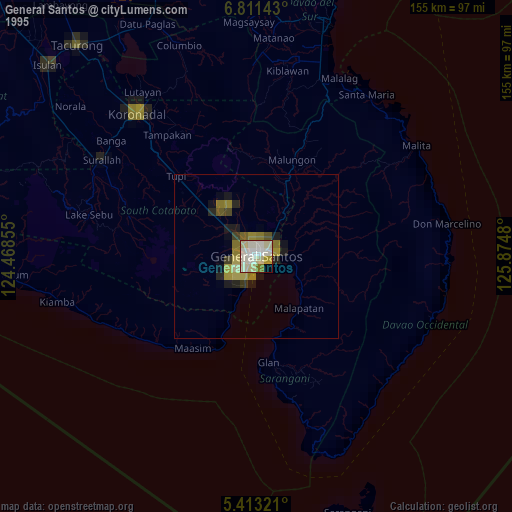
» NASA, Earths city lights 1995
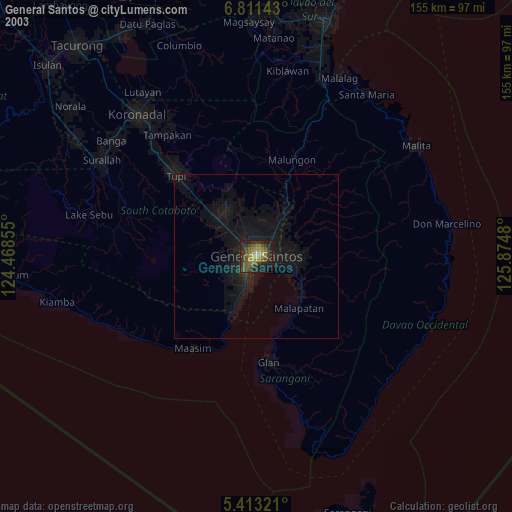
» NASA city lights 2003
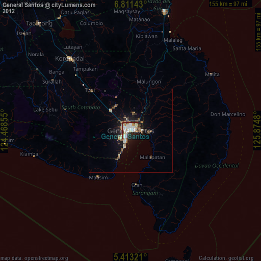
» Earth at Night: Flat Maps 2012, 2016