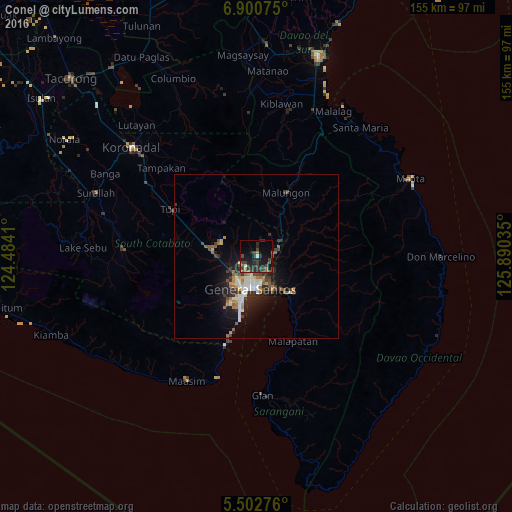
Conel night lights from space
Night Light of Conel (Soccsksargen) from space (Philippines) Src. Average luminocity for 10x10km area is 21.1942% and for 50x50km: 6.1731%.
Analysis of Conel night lights 2016
Square area 10x10 km:
 0.62%
0.62%90-99
0.83%80-89
0.21%70-79
1.24%60-69
3.72%50-59
3.51%40-49
9.5%30-39
8.26%20-29
13.43%10-19
18.8%0-9
39.88%Square area 50x50 km:
0.74%90-99
1.02%80-89
0.36%70-79
0.6%60-69
1.03%50-59
0.87%40-49
1.17%30-39
1.22%20-29
1.97%10-19
4.24%0-9
86.79%Clear (daylight) street map image can be seen on geolist.org.
Map coordinates:
6° 54' 2.7" North, 124° 29' 2.8" East
6° 12' 8" North, 125° 11' 14" East
5° 30' 9.9" North, 125° 53' 25.3" East
Some cities around Conel sort by population:
• General Santos
10.1 km =6.3 mi,  189°
189°
• Polomolok
13.8 km =8.6 mi,  279°
279°
• Maluñgun
13.5 km =8.4 mi,  50°
50°
• Alabel
16 km =9.9 mi,  134°
134°
• Buayan
10.9 km =6.8 mi,  151°
151°
• Malandag
13.7 km =8.5 mi,  29°
29°
• Katangawan
5 km =3.1 mi, 131°
• Silway 7
7.9 km =4.9 mi,  249°
249°
1716951 (p: 8,519)
Sources (retrieved 2019-11-25):
» Earth at Night: Flat Maps 2012, 2016