Suklayin night lights from space
Night Light of Suklayin (Central Luzon) from space (Philippines) Src. Average luminocity for 10x10km area is 0.6732% and for 50x50km: 0.026%.
Analysis of Suklayin night lights 2016
Square area 10x10 km:
 0%
0%90-99
0%80-89
0%70-79
0%60-69
0%50-59
0%40-49
0.43%30-39
1.3%20-29
0%10-19
0%0-9
98.27%Square area 50x50 km:
0%90-99
0%80-89
0%70-79
0%60-69
0%50-59
0%40-49
0.02%30-39
0.05%20-29
0%10-19
0%0-9
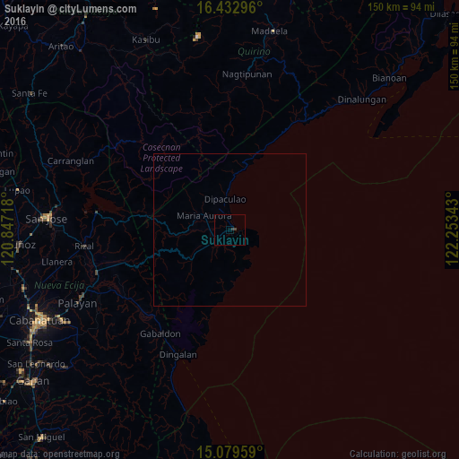
99.93%Clear (daylight) street map image can be seen on geolist.org.
Map coordinates:
16° 25' 58.7" North, 120° 50' 49.8" East
15° 45' 26.6" North, 121° 33' 1.1" East
15° 4' 46.5" North, 122° 15' 12.3" East
Some cities around Suklayin sort by population:
• Bongabon
45.6 km =28.3 mi,  252°
252°
• Rizal
47.8 km =29.7 mi,  263°
263°
• Laur
43.6 km =27.1 mi,  244°
244°
• Dingalan
44.2 km =27.5 mi,  202°
202°
• Gabaldon
40.8 km =25.4 mi,  213°
213°
• Maria Aurora
9.3 km =5.8 mi,  298°
298°
• Pantabangan
43.9 km =27.3 mi,  277°
277°
• Ligaya
39.4 km =24.5 mi,  225°
225°
1685549 (p: 5,734)
Sources (retrieved 2019-11-25):
» Earth at Night: Flat Maps 2012, 2016