Suay night lights from space
Night Light of Suay (Western Visayas) from space (Philippines) Src. Average luminocity for 10x10km area is 8.3037% and for 50x50km: 1.3659%.
Analysis of Suay night lights 2016
Square area 10x10 km:
 0%
0%90-99
0%80-89
1.24%70-79
1.24%60-69
0.83%50-59
1.24%40-49
4.34%30-39
3.51%20-29
0%10-19
0.62%0-9
86.98%Square area 50x50 km:
0.05%90-99
0.08%80-89
0.15%70-79
0.32%60-69
0.13%50-59
0.19%40-49
0.44%30-39
0.47%20-29
0.12%10-19
0.14%0-9
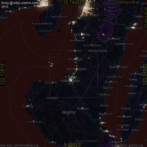
97.9%Clear (daylight) street map image can be seen on geolist.org.
Map coordinates:
10° 44' 41.5" North, 122° 8' 21" East
10° 3' 11.9" North, 122° 50' 32.3" East
9° 21' 36.9" North, 123° 32' 43.5" East
Some cities around Suay sort by population:
• Kabankalan
8.3 km =5.2 mi,  201°
201°
• Himamaylan
5.9 km =3.7 mi,  31°
31°
• Aguisan
12.1 km =7.5 mi,  10°
10°
• Dancalan
13.8 km =8.6 mi,  235°
235°
• Carabalan
12.3 km =7.6 mi,  67°
67°
• Orong
13 km =8.1 mi,  186°
186°
• Ilog
8.6 km =5.3 mi,  249°
249°
• Talaban
8.5 km =5.3 mi,  18°
18°
1685622 (p: 19,672)
Sources (retrieved 2019-11-25):
» Earth at Night: Flat Maps 2012, 2016