Kabankalan night lights from space
Night Light of Kabankalan (Western Visayas) from space (Philippines) Src. Average luminocity for 10x10km area is 14.9236% and for 50x50km: 1.3429%.
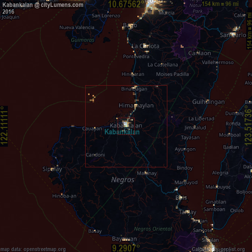
Analysis of Kabankalan night lights 2016
Square area 10x10 km:
 1.24%
1.24%90-99
2.07%80-89
1.65%70-79
1.65%60-69
0.83%50-59
2.89%40-49
4.75%30-39
4.13%20-29
0.62%10-19
1.24%0-9
78.93%Square area 50x50 km:
0.05%90-99
0.08%80-89
0.15%70-79
0.32%60-69
0.13%50-59
0.19%40-49
0.43%30-39
0.41%20-29
0.15%10-19
0.14%0-9
97.94%Clear (daylight) street map image can be seen on geolist.org.
Map coordinates:
10° 40' 32.2" North, 122° 6' 40" East
9° 59' 2" North, 122° 48' 51.2" East
9° 17' 26.5" North, 123° 31' 2.5" East
Some cities around Kabankalan sort by population:
• Himamaylan
14.2 km =8.8 mi,  25°
25°
• Suay
8.3 km =5.2 mi,  21°
21°
• Guiljungan
15.3 km =9.5 mi,  268°
268°
• Dancalan
8.3 km =5.2 mi, 268°
• Camingawan
11.1 km =6.9 mi,  151°
151°
• Orong
5.4 km =3.4 mi,  162°
162°
• Ilog
6.9 km =4.3 mi,  313°
313°
• Tabu
15.3 km =9.5 mi,  228°
228°
1709968 (p: 136,483)
Sources (retrieved 2019-11-25):
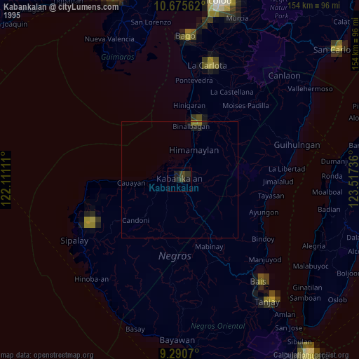
» NASA, Earths city lights 1995
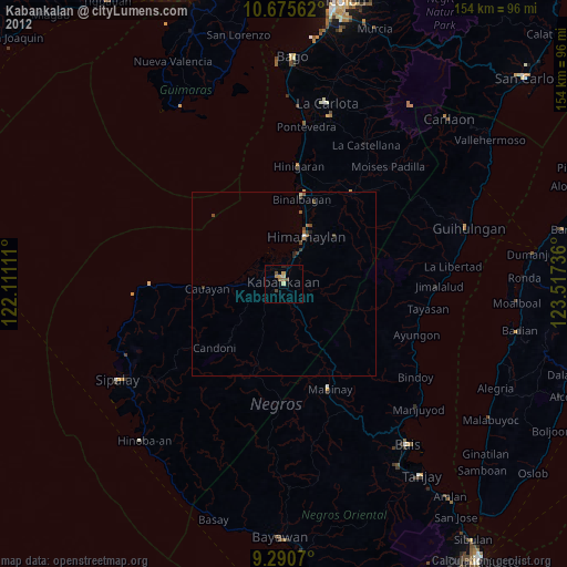
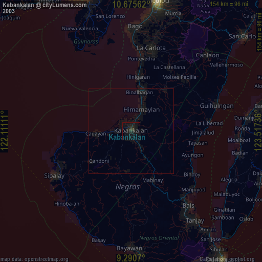
» NASA city lights 2003
» Earth at Night: Flat Maps 2012, 2016