Aguisan night lights from space
Night Light of Aguisan (Western Visayas) from space (Philippines) Src. Average luminocity for 10x10km area is 5.4566% and for 50x50km: 1.3599%.
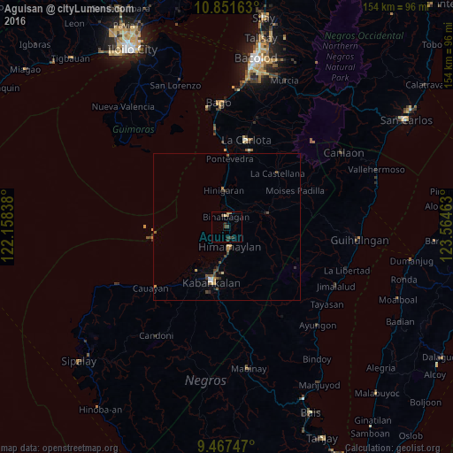
Analysis of Aguisan night lights 2016
Square area 10x10 km:
 0%
0%90-99
0%80-89
0.83%70-79
0.83%60-69
1.45%50-59
0.21%40-49
2.07%30-39
2.89%20-29
1.65%10-19
0%0-9
90.08%Square area 50x50 km:
0.05%90-99
0.08%80-89
0.15%70-79
0.29%60-69
0.13%50-59
0.25%40-49
0.4%30-39
0.46%20-29
0.13%10-19
0.13%0-9
97.94%Clear (daylight) street map image can be seen on geolist.org.
Map coordinates:
10° 51' 5.9" North, 122° 9' 30.2" East
10° 9' 37.1" North, 122° 51' 41.4" East
9° 28' 2.9" North, 123° 33' 52.7" East
Some cities around Aguisan sort by population:
• Hinigaran
12.3 km =7.6 mi,  354°
354°
• Binalbagan
3.9 km =2.4 mi, 354°
• Himamaylan
6.9 km =4.3 mi,  171°
171°
• Suay
12.1 km =7.5 mi,  190°
190°
• Payao
7.1 km =4.4 mi,  73°
73°
• Carabalan
11.7 km =7.3 mi,  127°
127°
• Biao
13.9 km =8.6 mi,  114°
114°
• Talaban
3.9 km =2.4 mi, 171°
1731838 (p: 11,798)
Sources (retrieved 2019-11-25):
» Earth at Night: Flat Maps 2012, 2016