Himamaylan night lights from space
Night Light of Himamaylan (Western Visayas) from space (Philippines) Src. Average luminocity for 10x10km area is 5.5372% and for 50x50km: 1.2629%.
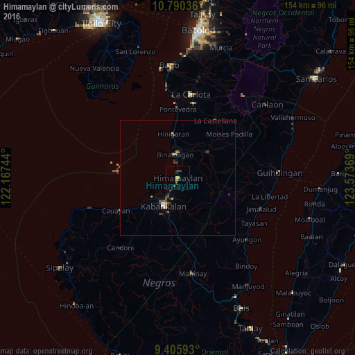
Analysis of Himamaylan night lights 2016
Square area 10x10 km:
 0%
0%90-99
0%80-89
0.83%70-79
1.65%60-69
0.83%50-59
0%40-49
1.86%30-39
3.1%20-29
0.83%10-19
0.62%0-9
90.29%Square area 50x50 km:
0.05%90-99
0.08%80-89
0.15%70-79
0.24%60-69
0.13%50-59
0.19%40-49
0.4%30-39
0.45%20-29
0.09%10-19
0.16%0-9
98.07%Clear (daylight) street map image can be seen on geolist.org.
Map coordinates:
10° 47' 25.3" North, 122° 10' 2.8" East
10° 5' 56" North, 122° 52' 14" East
9° 24' 21.3" North, 123° 34' 25.3" East
Some cities around Himamaylan sort by population:
• Binalbagan
10.8 km =6.7 mi,  352°
352°
• Suay
5.9 km =3.7 mi,  211°
211°
• Aguisan
6.9 km =4.3 mi, 351°
• Payao
10.6 km =6.6 mi,  33°
33°
• Carabalan
8.3 km =5.2 mi,  91°
91°
• Ilog
13.8 km =8.6 mi,  234°
234°
• Biao
11.7 km =7.3 mi,  84°
84°
• Talaban
3 km =1.9 mi, 352°
1711718 (p: 25,089)
Sources (retrieved 2019-11-25):
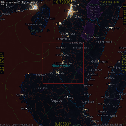
» Earth at Night: Flat Maps 2012, 2016