Sarangani night lights from space
Night Light of Sarangani (Davao) from space (Philippines) Src. Average luminocity for 10x10km area is 0% and for 50x50km: 0%.
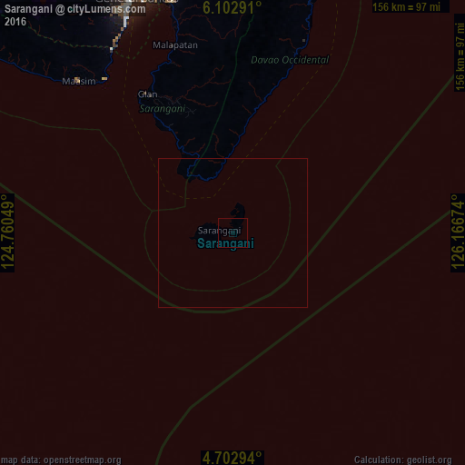
Analysis of Sarangani night lights 2016
Square area 10x10 km:
 0%
0%90-99
0%80-89
0%70-79
0%60-69
0%50-59
0%40-49
0%30-39
0%20-29
0%10-19
0%0-9
100%Square area 50x50 km:
0%90-99
0%80-89
0%70-79
0%60-69
0%50-59
0%40-49
0%30-39
0%20-29
0%10-19
0%0-9
100%Clear (daylight) street map image can be seen on geolist.org.
Map coordinates:
6° 6' 10.5" North, 124° 45' 37.8" East
5° 24' 12" North, 125° 27' 49" East
4° 42' 10.6" North, 126° 10' 0.3" East
Some cities around Sarangani sort by population:
• Glan
54.9 km =34.1 mi,  328°
328°
• Malapatan
65.8 km =40.9 mi,  342°
342°
• Caburan
60.5 km =37.6 mi,  18°
18°
• Lun Pequeño
73.3 km =45.5 mi, 344°
• Sapu Padidu
61.1 km =38 mi, 339°
• Maasim
71.5 km =44.4 mi,  314°
314°
• Baliton
45.4 km =28.2 mi, 326°
• Pangyan
38.8 km =24.1 mi, 328°
1687186 (p: 7,506)
Sources (retrieved 2019-11-25):
» Earth at Night: Flat Maps 2012, 2016