Pangyan night lights from space
Night Light of Pangyan (Soccsksargen) from space (Philippines) Src. Average luminocity for 10x10km area is 0% and for 50x50km: 0.0826%.
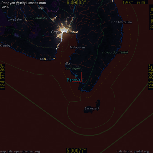
Analysis of Pangyan night lights 2016
Square area 10x10 km:
 0%
0%90-99
0%80-89
0%70-79
0%60-69
0%50-59
0%40-49
0%30-39
0%20-29
0%10-19
0%0-9
100%Square area 50x50 km:
0%90-99
0%80-89
0.03%70-79
0%60-69
0.03%50-59
0%40-49
0.03%30-39
0%20-29
0.03%10-19
0%0-9
99.86%Clear (daylight) street map image can be seen on geolist.org.
Map coordinates:
6° 24' 0.1" North, 124° 34' 40.8" East
5° 42' 3" North, 125° 16' 52" East
5° 0' 2.8" North, 125° 59' 3.3" East
Some cities around Pangyan sort by population:
• Glan
16.2 km =10.1 mi,  327°
327°
• Malapatan
29.9 km =18.6 mi,  1°
1°
• Lun Pequeño
37.5 km =23.3 mi, 0°
• Sapu Padidu
24.1 km =15 mi,  356°
356°
• Sarangani
38.8 km =24.1 mi,  148°
148°
• Suyan
41.6 km =25.8 mi,  16°
16°
• Maasim
35.1 km =21.8 mi,  299°
299°
• Baliton
6.9 km =4.3 mi,  313°
313°
1695175 (p: 5,261)
Sources (retrieved 2019-11-25):
» Earth at Night: Flat Maps 2012, 2016