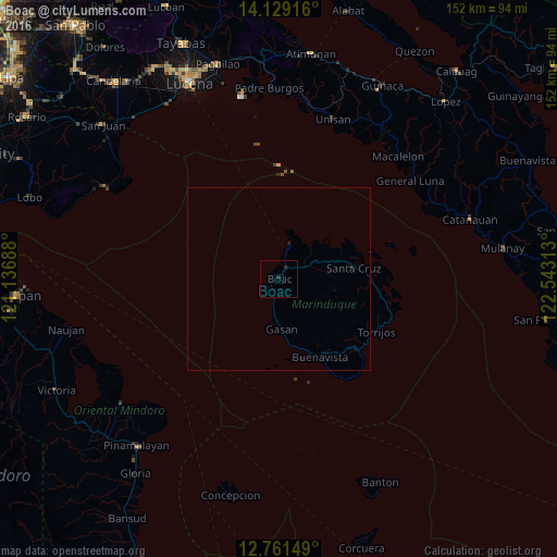
Boac night lights from space
Night Light of Boac (Mimaropa) from space (Philippines) Src. Average luminocity for 10x10km area is 0.469% and for 50x50km: 0.0451%.
Analysis of Boac night lights 2016
Square area 10x10 km:
 0%
0%90-99
0%80-89
0%70-79
0%60-69
0%50-59
0%40-49
0%30-39
0%20-29
1.65%10-19
0%0-9
98.35%Square area 50x50 km:
0%90-99
0%80-89
0%70-79
0%60-69
0%50-59
0%40-49
0%30-39
0%20-29
0.1%10-19
0.07%0-9
99.83%Clear (daylight) street map image can be seen on geolist.org.
Map coordinates:
14° 7' 45" North, 121° 8' 12.8" East
13° 26' 46.7" North, 121° 50' 24" East
12° 45' 41.4" North, 122° 32' 35.3" East
Some cities around Boac sort by population:
• Catanauan
54.5 km =33.9 mi,  72°
72°
• Santa Cruz
20.5 km =12.7 mi,  80°
80°
• General Luna
44.6 km =27.7 mi,  53°
53°
• Castañas
56.8 km =35.3 mi,  326°
326°
• Pitogo
46.3 km =28.8 mi,  35°
35°
• Laiya
54.1 km =33.6 mi,  298°
298°
• Macalelon
46.5 km =28.9 mi, 43°
• Calubcub Dos
55.7 km =34.6 mi,  305°
305°
1724576 (p: 6,566)
Sources (retrieved 2019-11-25):
» Earth at Night: Flat Maps 2012, 2016