San Pedro night lights from space
Night Light of San Pedro (Western Visayas) from space (Philippines) Src. Average luminocity for 10x10km area is 0.4421% and for 50x50km: 0.2277%.
Analysis of San Pedro night lights 2016
Square area 10x10 km:
 0%
0%90-99
0%80-89
0%70-79
0%60-69
0%50-59
0%40-49
0%30-39
0%20-29
0.83%10-19
0.83%0-9
98.35%Square area 50x50 km:
0%90-99
0%80-89
0.08%70-79
0.05%60-69
0%50-59
0%40-49
0.04%30-39
0.09%20-29
0.11%10-19
0.09%0-9
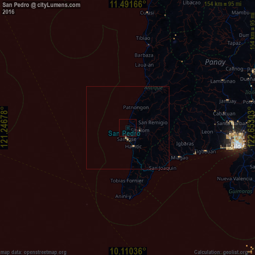
99.53%Clear (daylight) street map image can be seen on geolist.org.
Map coordinates:
11° 29' 30" North, 121° 14' 48.4" East
10° 48' 6.5" North, 121° 56' 59.6" East
10° 6' 37.3" North, 122° 39' 10.9" East
Some cities around San Pedro sort by population:
• Tigbauan
48.8 km =30.3 mi,  106°
106°
• Miagao
35.8 km =22.2 mi,  119°
119°
• Alimodian
52.6 km =32.7 mi,  87°
87°
• Sibalom
7.5 km =4.7 mi,  100°
100°
• Guimbal
43.6 km =27.1 mi, 110°
• Buga
35.9 km =22.3 mi, 105°
• Patnongon
13.3 km =8.3 mi,  21°
21°
• Leon
48.1 km =29.9 mi, 92°
1688776 (p: 5,026)
Sources (retrieved 2019-11-25):
» Earth at Night: Flat Maps 2012, 2016