Conduaga night lights from space
Night Light of Conduaga (Mimaropa) from space (Philippines) Src. Average luminocity for 10x10km area is 0% and for 50x50km: 0.0122%.
Analysis of Conduaga night lights 2016
Square area 10x10 km:
 0%
0%90-99
0%80-89
0%70-79
0%60-69
0%50-59
0%40-49
0%30-39
0%20-29
0%10-19
0%0-9
100%Square area 50x50 km:
0%90-99
0%80-89
0%70-79
0%60-69
0%50-59
0%40-49
0%30-39
0.03%20-29
0%10-19
0%0-9
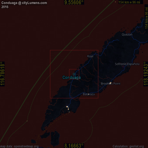
99.97%Clear (daylight) street map image can be seen on geolist.org.
Map coordinates:
9° 33' 21.8" North, 116° 47' 10.2" East
8° 51' 43.2" North, 117° 29' 21.5" East
8° 9' 59.9" North, 118° 11' 32.7" East
Some cities around Conduaga sort by population:
• Balabac
109 km =67.7 mi,  206°
206°
• Rio Tuba
40.1 km =24.9 mi,  189°
189°
• Quezon
72.9 km =45.3 mi,  54°
54°
• Panitian
70.6 km =43.9 mi,  68°
68°
• Pañgobilian
41.2 km =25.6 mi,  99°
99°
• Batarasa
25.9 km =16.1 mi,  144°
144°
• Eraan
32.3 km =20.1 mi, 46°
• Ipilan
45.5 km =28.3 mi,  92°
92°
1716963 (p: 5,164)
Sources (retrieved 2019-11-25):
» Earth at Night: Flat Maps 2012, 2016