Batarasa night lights from space
Night Light of Batarasa (Mimaropa) from space (Philippines) Src. Average luminocity for 10x10km area is 0.2975% and for 50x50km: 0.2262%.
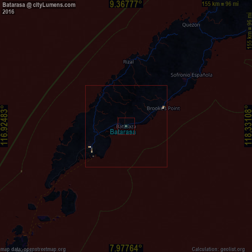
Analysis of Batarasa night lights 2016
Square area 10x10 km:
 0%
0%90-99
0%80-89
0%70-79
0%60-69
0%50-59
0%40-49
0%30-39
0.83%20-29
0%10-19
0%0-9
99.17%Square area 50x50 km:
0.02%90-99
0.05%80-89
0.03%70-79
0.03%60-69
0.03%50-59
0%40-49
0.03%30-39
0.13%20-29
0.01%10-19
0.03%0-9
99.63%Clear (daylight) street map image can be seen on geolist.org.
Map coordinates:
9° 22' 4" North, 116° 55' 29.4" East
8° 40' 24.1" North, 117° 37' 40.6" East
7° 58' 39.5" North, 118° 19' 51.9" East
Some cities around Batarasa sort by population:
• Balabac
99.7 km =62 mi,  219°
219°
• Rio Tuba
28.5 km =17.7 mi,  229°
229°
• Quezon
77.1 km =47.9 mi,  35°
35°
• Panitian
68.9 km =42.8 mi,  46°
46°
• Pañgobilian
29.1 km =18.1 mi,  60°
60°
• Eraan
44.1 km =27.4 mi,  10°
10°
• Conduaga
25.9 km =16.1 mi,  324°
324°
• Ipilan
35.7 km =22.2 mi, 58°
1726256 (p: 6,169)
Sources (retrieved 2019-11-25):
» Earth at Night: Flat Maps 2012, 2016