Guinticgan night lights from space
Night Light of Guinticgan (Western Visayas) from space (Philippines) Src. Average luminocity for 10x10km area is 0% and for 50x50km: 0.1717%.
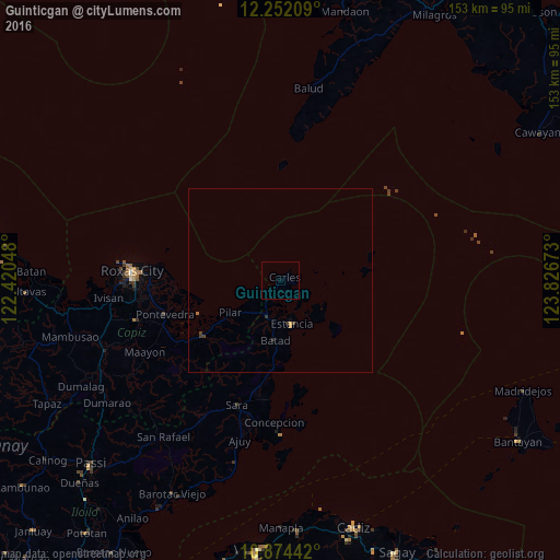
Analysis of Guinticgan night lights 2016
Square area 10x10 km:
 0%
0%90-99
0%80-89
0%70-79
0%60-69
0%50-59
0%40-49
0%30-39
0%20-29
0%10-19
0%0-9
100%Square area 50x50 km:
0%90-99
0%80-89
0.02%70-79
0.05%60-69
0.03%50-59
0%40-49
0.09%30-39
0.11%20-29
0.03%10-19
0.01%0-9
99.66%Clear (daylight) street map image can be seen on geolist.org.
Map coordinates:
12° 15' 7.5" North, 122° 25' 13.7" East
11° 33' 50.8" North, 123° 7' 25" East
10° 52' 27.9" North, 123° 49' 36.2" East
Some cities around Guinticgan sort by population:
• Estancia
12.5 km =7.8 mi,  165°
165°
• Pilar
16.3 km =10.1 mi,  238°
238°
• President Roxas
26 km =16.2 mi, 235°
• Lanot
40.2 km =25 mi,  262°
262°
• Concepcion
38.7 km =24 mi,  182°
182°
• Dulangan
21.9 km =13.6 mi, 236°
• Tabuc Pontevedra
34.6 km =21.5 mi,  254°
254°
• Panitan
39.8 km =24.7 mi, 254°
1712276 (p: 7,452)
Sources (retrieved 2019-11-25):
» Earth at Night: Flat Maps 2012, 2016