Panitan night lights from space
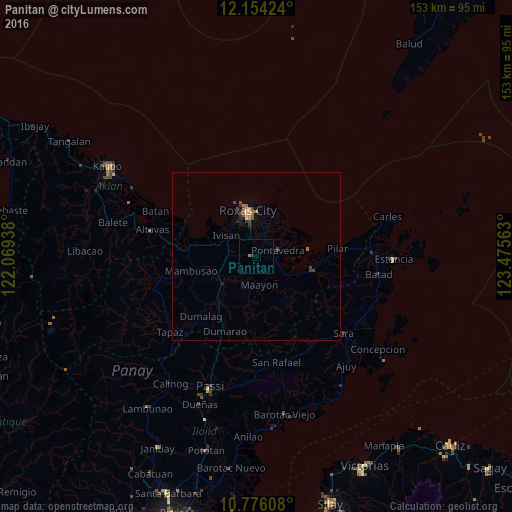
Night Light of Panitan (Western Visayas) from space (Philippines) Src. Average luminocity for 10x10km area is 1.0671% and for 50x50km: 0.856%.
Analysis of Panitan night lights 2016
Square area 10x10 km:
 0%
0%90-99
0%80-89
0%70-79
0%60-69
0.87%50-59
0%40-49
0%30-39
0.87%20-29
0%10-19
0%0-9
98.27%Square area 50x50 km:
0.05%90-99
0.02%80-89
0.07%70-79
0.1%60-69
0.24%50-59
0.19%40-49
0.15%30-39
0.32%20-29
0.08%10-19
0.2%0-9
98.59%Clear (daylight) street map image can be seen on geolist.org.
Map coordinates:
12° 9' 15.3" North, 122° 4' 9.8" East
11° 27' 57.6" North, 122° 46' 21" East
10° 46' 33.9" North, 123° 28' 32.3" East
Some cities around Panitan sort by population:
• Roxas City
13.5 km =8.4 mi,  350°
350°
• Dao
12.4 km =7.7 mi,  229°
229°
• President Roxas
17.4 km =10.8 mi,  102°
102°
• Lanot
6.1 km =3.8 mi,  344°
344°
• Mambusao
19.3 km =12 mi,  259°
259°
• Dulangan
20 km =12.4 mi,  93°
93°
• Tabuc Pontevedra
5.2 km =3.2 mi,  68°
68°
• Ivisan
10.8 km =6.7 mi,  304°
304°
1695082 (p: 5,156)
Sources (retrieved 2019-11-25):
» Earth at Night: Flat Maps 2012, 2016