Roxas City night lights from space
Night Light of Roxas City (Western Visayas) from space (Philippines) Src. Average luminocity for 10x10km area is 17.5346% and for 50x50km: 0.856%.
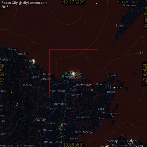
Analysis of Roxas City night lights 2016
Square area 10x10 km:
 1.3%
1.3%90-99
0.43%80-89
1.73%70-79
2.6%60-69
4.55%50-59
4.98%40-49
2.38%30-39
5.41%20-29
1.95%10-19
3.46%0-9
71.21%Square area 50x50 km:
0.05%90-99
0.02%80-89
0.07%70-79
0.1%60-69
0.24%50-59
0.19%40-49
0.15%30-39
0.32%20-29
0.08%10-19
0.2%0-9
98.59%Clear (daylight) street map image can be seen on geolist.org.
Map coordinates:
12° 16' 23.6" North, 122° 2' 52.8" East
11° 35' 7" North, 122° 45' 4" East
10° 53' 44.3" North, 123° 27' 15.3" East
Some cities around Roxas City sort by population:
• Dao
22.5 km =14 mi,  198°
198°
• President Roxas
25.8 km =16 mi,  131°
131°
• Lanot
7.4 km =4.6 mi,  174°
174°
• Mambusao
23.7 km =14.7 mi,  224°
224°
• Bilao
23.5 km =14.6 mi,  242°
242°
• Tabuc Pontevedra
13.4 km =8.3 mi,  147°
147°
• Panitan
13.5 km =8.4 mi, 170°
• Ivisan
9.7 km =6 mi, 222°
1691444 (p: 102,688)
Sources (retrieved 2019-11-25):
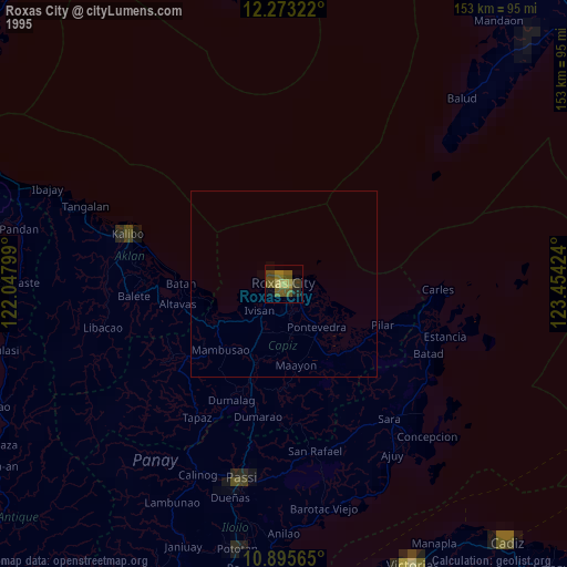
» NASA, Earths city lights 1995
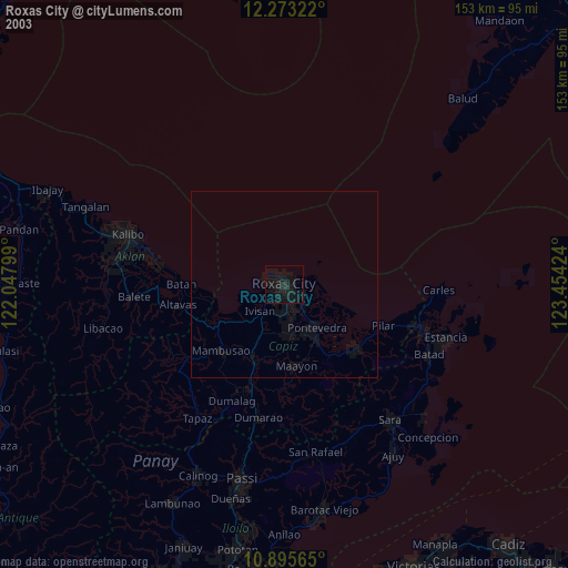
» NASA city lights 2003
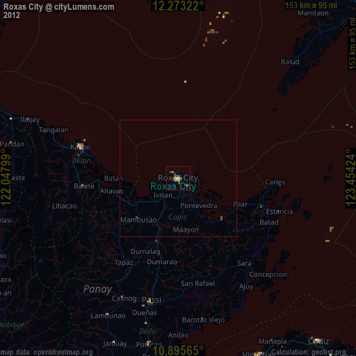
» Earth at Night: Flat Maps 2012, 2016