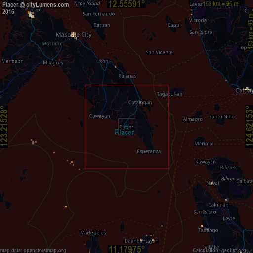
Placer night lights from space
Night Light of Placer (Bicol) from space (Philippines) Src. Average luminocity for 10x10km area is 0% and for 50x50km: 0.0248%.
Analysis of Placer night lights 2016
Square area 10x10 km:
 0%
0%90-99
0%80-89
0%70-79
0%60-69
0%50-59
0%40-49
0%30-39
0%20-29
0%10-19
0%0-9
100%Square area 50x50 km:
0%90-99
0%80-89
0%70-79
0%60-69
0%50-59
0%40-49
0%30-39
0%20-29
0.07%10-19
0%0-9
99.93%Clear (daylight) street map image can be seen on geolist.org.
Map coordinates:
12° 33' 21.3" North, 123° 12' 55" East
11° 52' 7.3" North, 123° 55' 6.2" East
11° 10' 47.1" North, 124° 37' 17.5" East
Some cities around Placer sort by population:
• Masbate
64.4 km =40 mi,  330°
330°
• Daanbantayan
69.9 km =43.4 mi,  171°
171°
• Naval
62.4 km =38.8 mi,  123°
123°
• Cataingan
16.9 km =10.5 mi,  28°
28°
• Tapilon
66.9 km =41.6 mi, 169°
• Maya
67.7 km =42.1 mi, 167°
• Milagros
59 km =36.7 mi,  311°
311°
• Tinaan
69.4 km =43.1 mi,  195°
195°
1693268 (p: 5,969)
Sources (retrieved 2019-11-25):
» Earth at Night: Flat Maps 2012, 2016