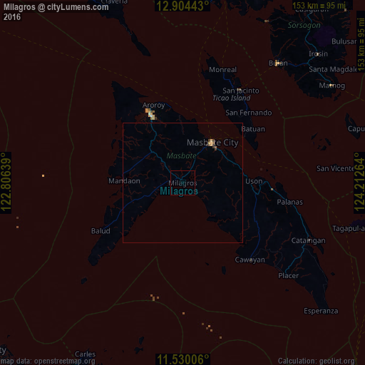
Milagros night lights from space
Night Light of Milagros (Bicol) from space (Philippines) Src. Average luminocity for 10x10km area is 0% and for 50x50km: 0.2892%.
Analysis of Milagros night lights 2016
Square area 10x10 km:
 0%
0%90-99
0%80-89
0%70-79
0%60-69
0%50-59
0%40-49
0%30-39
0%20-29
0%10-19
0%0-9
100%Square area 50x50 km:
0%90-99
0%80-89
0.08%70-79
0.06%60-69
0.04%50-59
0.03%40-49
0.06%30-39
0.14%20-29
0.04%10-19
0.01%0-9
99.55%Clear (daylight) street map image can be seen on geolist.org.
Map coordinates:
12° 54' 15.9" North, 122° 48' 23" East
12° 13' 5.3" North, 123° 30' 34.2" East
11° 31' 48.2" North, 124° 12' 45.5" East
Some cities around Milagros sort by population:
• Masbate
21.2 km =13.2 mi,  36°
36°
• Bulan
64.1 km =39.8 mi, 38°
• Cataingan
57.7 km =35.9 mi,  114°
114°
• San Jacinto
45.9 km =28.5 mi,  32°
32°
• Matnog
75 km =46.6 mi,  56°
56°
• San Fernando
40.3 km =25 mi, 42°
• Placer
59 km =36.7 mi,  131°
131°
• Puro
32.6 km =20.3 mi,  335°
335°
1699720 (p: 6,009)
Sources (retrieved 2019-11-25):
» Earth at Night: Flat Maps 2012, 2016