Cataingan night lights from space
Night Light of Cataingan (Bicol) from space (Philippines) Src. Average luminocity for 10x10km area is 0.3574% and for 50x50km: 0.0425%.
Analysis of Cataingan night lights 2016
Square area 10x10 km:
 0%
0%90-99
0%80-89
0%70-79
0%60-69
0%50-59
0%40-49
0%30-39
0%20-29
0.83%10-19
0%0-9
99.17%Square area 50x50 km:
0%90-99
0%80-89
0%70-79
0%60-69
0%50-59
0.03%40-49
0%30-39
0%20-29
0.07%10-19
0%0-9
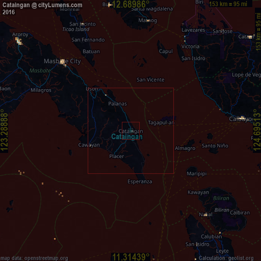
99.9%Clear (daylight) street map image can be seen on geolist.org.
Map coordinates:
12° 41' 23.5" North, 123° 17' 20" East
12° 0' 10.8" North, 123° 59' 31.2" East
11° 18' 51.8" North, 124° 41' 42.5" East
Some cities around Cataingan sort by population:
• Masbate
57.2 km =35.5 mi,  315°
315°
• Allen
63.8 km =39.6 mi,  29°
29°
• Matnog
65.8 km =40.9 mi,  9°
9°
• San Fernando
59 km =36.7 mi,  334°
334°
• Milagros
57.7 km =35.9 mi,  294°
294°
• Placer
16.9 km =10.5 mi,  208°
208°
• Alegria
57 km =35.4 mi,  39°
39°
• San Policarpio
63.2 km =39.3 mi,  83°
83°
1717994 (p: 7,809)
Sources (retrieved 2019-11-25):
» Earth at Night: Flat Maps 2012, 2016