Burgos night lights from space
Night Light of Burgos (Central Luzon) from space (Philippines) Src. Average luminocity for 10x10km area is 3.7749% and for 50x50km: 3.0686%.
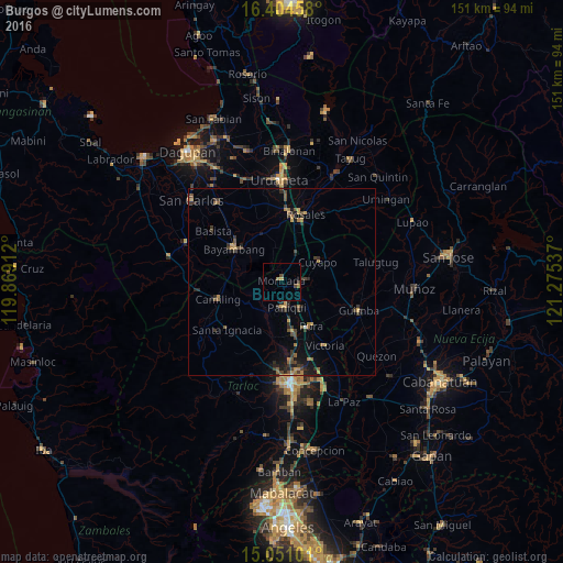
Analysis of Burgos night lights 2016
Square area 10x10 km:
 0%
0%90-99
0%80-89
0.87%70-79
0%60-69
1.73%50-59
0%40-49
1.73%30-39
0.87%20-29
0%10-19
0%0-9
94.81%Square area 50x50 km:
0%90-99
0.03%80-89
0.2%70-79
0.47%60-69
0.71%50-59
0.46%40-49
0.77%30-39
1.18%20-29
0.88%10-19
1.61%0-9
93.69%Clear (daylight) street map image can be seen on geolist.org.
Map coordinates:
16° 24' 16.5" North, 119° 52' 8.8" East
15° 43' 44.1" North, 120° 34' 20.1" East
15° 3' 3.6" North, 121° 16' 31.3" East
Some cities around Burgos sort by population:
• Paniqui
6.7 km =4.2 mi,  172°
172°
• Gerona
13.9 km =8.6 mi, 168°
• Ramos
10.2 km =6.3 mi,  134°
134°
• Sapang
5.9 km =3.7 mi,  240°
240°
• Cuyapo
11.5 km =7.1 mi,  59°
59°
• Nampicuan
5.7 km =3.5 mi,  87°
87°
• Baquero Norte
2.4 km =1.5 mi,  233°
233°
• Sinilian First
12.7 km =7.9 mi,  251°
251°
1722433 (p: 28,178)
Sources (retrieved 2019-11-25):
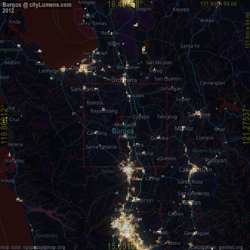
» Earth at Night: Flat Maps 2012, 2016