Pagadian night lights from space
Night Light of Pagadian (Zamboanga Peninsula) from space (Philippines) Src. Average luminocity for 10x10km area is 4.5496% and for 50x50km: 0.4909%.
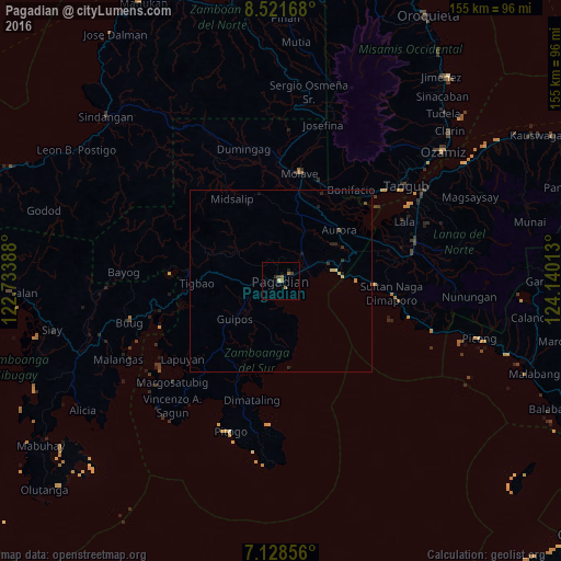
Analysis of Pagadian night lights 2016
Square area 10x10 km:
 0%
0%90-99
0%80-89
0.83%70-79
0.62%60-69
2.69%50-59
0%40-49
0.41%30-39
1.24%20-29
1.65%10-19
0.41%0-9
92.15%Square area 50x50 km:
0%90-99
0%80-89
0.15%70-79
0.08%60-69
0.12%50-59
0%40-49
0.08%30-39
0.1%20-29
0.25%10-19
0.13%0-9
99.07%Clear (daylight) street map image can be seen on geolist.org.
Map coordinates:
8° 31' 18" North, 122° 44' 2" East
7° 49' 32.5" North, 123° 26' 13.2" East
7° 7' 42.8" North, 124° 8' 24.5" East
Some cities around Pagadian sort by population:
• Muricay
4.5 km =2.8 mi,  87°
87°
• Molave
29.4 km =18.3 mi,  11°
11°
• Tucuran
15.4 km =9.6 mi,  78°
78°
• Labangan
9.4 km =5.8 mi,  61°
61°
• Aurora
21.2 km =13.2 mi,  49°
49°
• Tambulig
29.2 km =18.1 mi,  21°
21°
• Rancheria Payau
30.7 km =19.1 mi,  275°
275°
• Caromatan
30.7 km =19.1 mi,  96°
96°
1696710 (p: 186,852)
Sources (retrieved 2019-11-25):
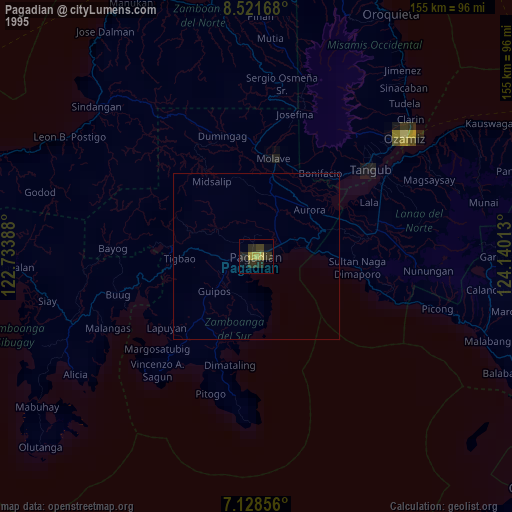
» NASA, Earths city lights 1995
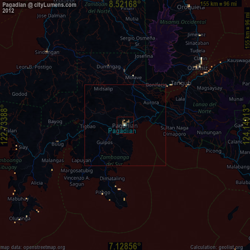
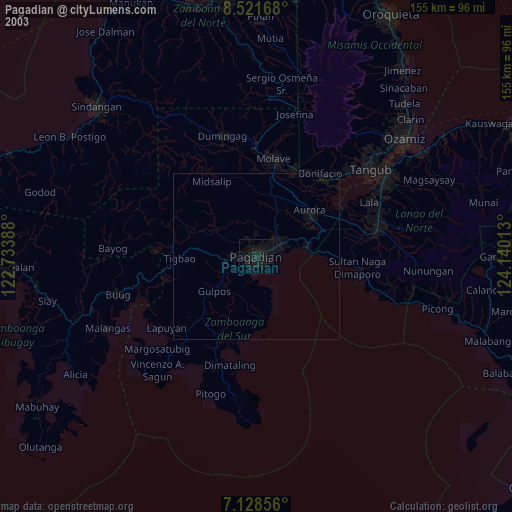
» NASA city lights 2003
» Earth at Night: Flat Maps 2012, 2016