Muricay night lights from space
Night Light of Muricay (Zamboanga Peninsula) from space (Philippines) Src. Average luminocity for 10x10km area is 3.6405% and for 50x50km: 0.6375%.
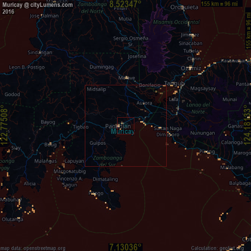
Analysis of Muricay night lights 2016
Square area 10x10 km:
 0%
0%90-99
0%80-89
0.41%70-79
0.62%60-69
2.69%50-59
0%40-49
0.41%30-39
0.83%20-29
0.83%10-19
0.21%0-9
94.01%Square area 50x50 km:
0%90-99
0%80-89
0.15%70-79
0.19%60-69
0.13%50-59
0%40-49
0.11%30-39
0.18%20-29
0.27%10-19
0.16%0-9
98.81%Clear (daylight) street map image can be seen on geolist.org.
Map coordinates:
8° 31' 24.5" North, 122° 46' 30.3" East
7° 49' 39" North, 123° 28' 41.5" East
7° 7' 49.3" North, 124° 10' 52.8" East
Some cities around Muricay sort by population:
• Pagadian
4.5 km =2.8 mi,  267°
267°
• Molave
28.6 km =17.8 mi,  2°
2°
• Mahayag
32.5 km =20.2 mi,  353°
353°
• Tucuran
10.9 km =6.8 mi,  75°
75°
• Labangan
5.6 km =3.5 mi,  41°
41°
• Aurora
17.9 km =11.1 mi, 40°
• Tambulig
27.7 km =17.2 mi,  13°
13°
• Caromatan
26.3 km =16.3 mi,  97°
97°
1699054 (p: 132,094)
Sources (retrieved 2019-11-25):
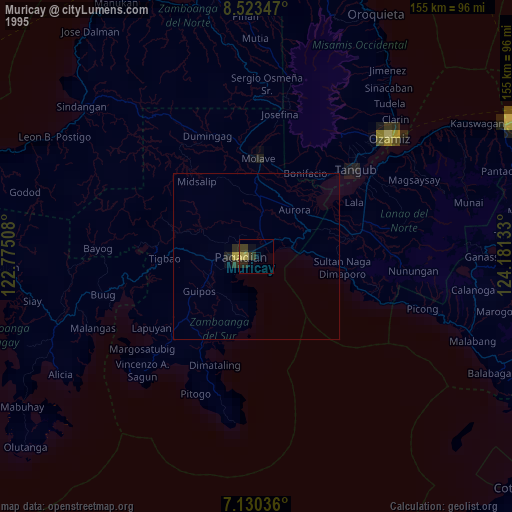
» NASA, Earths city lights 1995
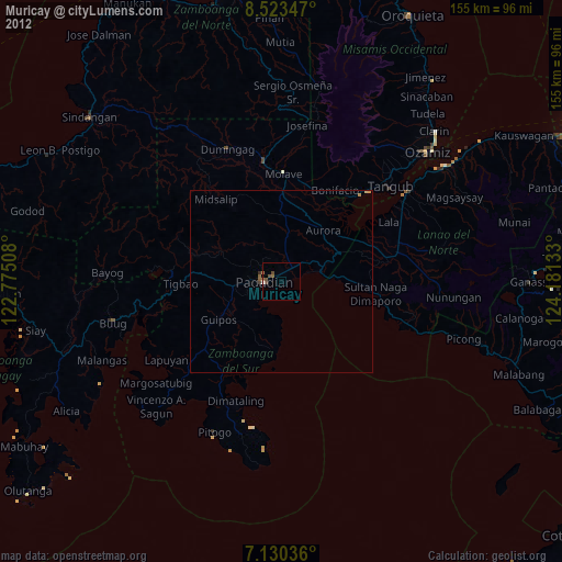
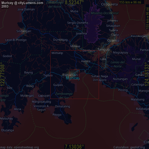
» NASA city lights 2003
» Earth at Night: Flat Maps 2012, 2016