Lunao night lights from space
Night Light of Lunao (Northern Mindanao) from space (Philippines) Src. Average luminocity for 10x10km area is 1.5671% and for 50x50km: 0.1879%.
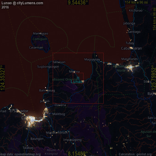
Analysis of Lunao night lights 2016
Square area 10x10 km:
 0%
0%90-99
0%80-89
0%70-79
0.87%60-69
0%50-59
0%40-49
0.87%30-39
0.87%20-29
0%10-19
0.87%0-9
96.54%Square area 50x50 km:
0%90-99
0%80-89
0%70-79
0.03%60-69
0.07%50-59
0.03%40-49
0.08%30-39
0.09%20-29
0%10-19
0.08%0-9
99.62%Clear (daylight) street map image can be seen on geolist.org.
Map coordinates:
9° 32' 39.7" North, 124° 21' 11.8" East
8° 51' 1" North, 125° 3' 23" East
8° 9' 17.6" North, 125° 45' 34.3" East
Some cities around Lunao sort by population:
• Mariano
6.9 km =4.3 mi,  105°
105°
• Balingasag
32.9 km =20.4 mi,  248°
248°
• Nasipit
29.3 km =18.2 mi,  63°
63°
• Medina
7.7 km =4.8 mi,  332°
332°
• Lagonglong
29.6 km =18.4 mi,  260°
260°
• Claveria
32.1 km =19.9 mi,  213°
213°
• Salay
29.4 km =18.3 mi,  271°
271°
• Binuangan
30.3 km =18.8 mi,  283°
283°
1705089 (p: 8,995)
Sources (retrieved 2019-11-25):
» Earth at Night: Flat Maps 2012, 2016