San Jacinto night lights from space
Night Light of San Jacinto (Bicol) from space (Philippines) Src. Average luminocity for 10x10km area is 0.9069% and for 50x50km: 0.3963%.
Analysis of San Jacinto night lights 2016
Square area 10x10 km:
 0%
0%90-99
0%80-89
0%70-79
0%60-69
0%50-59
0.87%40-49
0%30-39
0.87%20-29
0%10-19
0%0-9
98.27%Square area 50x50 km:
0%90-99
0%80-89
0.08%70-79
0.13%60-69
0.05%50-59
0.08%40-49
0.13%30-39
0.14%20-29
0.03%10-19
0%0-9
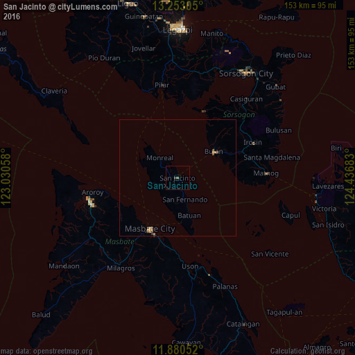
99.35%Clear (daylight) street map image can be seen on geolist.org.
Map coordinates:
13° 15' 11" North, 123° 1' 50.1" East
12° 34' 3.7" North, 123° 44' 1.3" East
11° 52' 49.9" North, 124° 26' 12.6" East
Some cities around San Jacinto sort by population:
• Masbate
24.8 km =15.4 mi,  208°
208°
• Bulan
19.2 km =11.9 mi,  53°
53°
• Irosin
35.6 km =22.1 mi,  65°
65°
• Pilar
40.1 km =24.9 mi,  350°
350°
• Matnog
38.5 km =23.9 mi,  86°
86°
• San Fernando
9.9 km =6.2 mi,  161°
161°
• Donsol
40.5 km =25.2 mi,  338°
338°
• Puro
39.2 km =24.4 mi,  256°
256°
1689607 (p: 7,637)
Sources (retrieved 2019-11-25):
» Earth at Night: Flat Maps 2012, 2016